

























































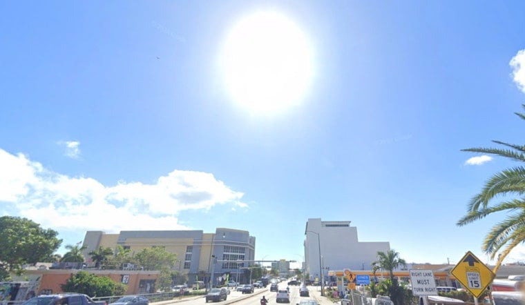
Miami woke to mostly clear skies and temperatures around 82°F Thursday morning, but the calm is not expected to last all day. A hot, humid afternoon is on tap, with scattered showers and thunderstorms becoming a recurring part of the forecast through next week.
Heat Builds Before Storms Arrive
Thursday’s high is forecast near 89°F, with heat index values reaching 105°F. The National Weather Service says showers and thunderstorms could develop from late morning into the afternoon, with southeast winds around 9 mph.
Some storms could bring brief heavy rain, frequent lightning and gusty winds. Stronger storms across South Florida may produce 40-55 mph gusts or small hail, so outdoor plans should include a quick route indoors when thunder rolls in.
Weekend Storm Chances Climb
Friday looks much like Thursday: sunny at times, a high near 89°F, and a 30% chance of showers and thunderstorms after 8 a.m. Saturday is the wetter day, with storms likely and a 60% rain chance while temperatures again approach 89°F.
Sunday keeps a 50% chance of showers and thunderstorms, followed by 60% chances Monday and Tuesday. Overnight lows will remain sticky, mostly 82°F to 83°F along the coast, with somewhat cooler readings possible farther inland.
What Miami Should Expect
The east coast sea breeze should help trigger storms, with activity often shifting inland later in the day. That can mean a bright start followed by sudden downpours, lightning and locally rough conditions for drivers, beachgoers and boaters.
No watches, warnings or advisories are listed for Miami in the current forecast. Still, the combination of triple-digit-feeling heat and thunderstorms makes water, shade and weather alerts useful companions, especially during the afternoon.



