

























































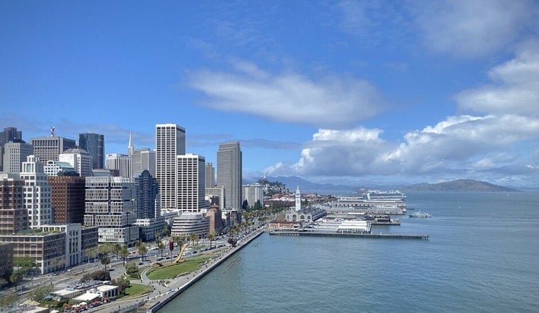
San Francisco is starting today near 56 degrees, but the city is headed for a sunny afternoon, topping out around 67 before easing back toward the mid-60s. It will be a mild, breezy day rather than a late-summer scorcher, with another cool night ahead.
Fog Clears Before A Breezy Afternoon
Low clouds may linger around the coast and Bayshore before sunrise, then clear quickly across much of the city. The National Weather Service San Francisco says southwest winds will run 6 to 13 mph Sunday, with gusts up to 18 mph.
That makes the afternoon a good fit for outdoor plans, though waterfront walks and exposed neighborhoods may feel cooler than the thermometer suggests. Tonight turns partly cloudy, with temperatures dropping to around 56 degrees and west-southwest gusts again reaching about 18 mph.
Monday Brings Cooler Air And Stronger Gusts
The next shift arrives tomorrow, when the high falls to around 65 degrees under partly sunny skies. Winds from the west-southwest could reach 16 mph, with gusts as high as 24 mph, while a deeper marine layer brings a better chance of gray morning skies than today.
The updated outlook builds on the weekend cooldown covered in an earlier Hoodline forecast, with the cooler pattern now looking set to hang around. Highs should remain in the 60s through Friday before edging back toward the upper 60s Saturday, while overnight lows stay mostly in the upper 50s.
Rain Mostly Misses San Francisco
Rain chances remain very low in the city, generally in the single digits through the week. Forecasters see a chance of light rain reaching the North Bay from Tuesday through Friday, but farther south, the main weather wrinkle should be coastal drizzle rather than a meaningful soaking.
Boaters and other coastal travelers should check conditions before heading out, as a Small Craft Advisory remains in effect for portions of the nearby waters through tomorrow morning. There are no land-based watches or warnings in the current forecast.





