

























































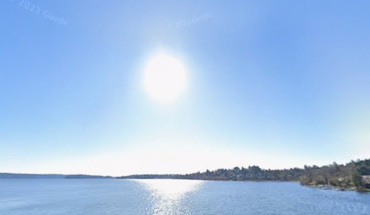
Seattle is waking up clear and cool Friday, with temperatures near 61 degrees at Boeing Field before a mostly sunny afternoon pushes the city toward 81. A little low cloud or fog may linger around some low-lying areas early, but the bigger story is a dry, warm day that will feel more like summer by afternoon.
Sunny In Seattle, Dangerous In The Mountains
Southwest winds should stay light in the city at around 5 mph, while the coast remains cooler than inland neighborhoods. The National Weather Service Seattle office expects highs in the 70s and lower 80s across the interior, with nearly no chance of rain through the weekend, according to its latest forecast discussion.
A Red Flag Warning is in effect from noon Friday through 9 p.m. Friday for portions of the Olympic and Cascade mountains, generally above 1,500 feet. Any thunderstorms that form could bring lightning and sudden, erratic wind gusts without much rain, creating a serious risk of new fire starts in already dry terrain.
Strait Winds Could Complicate Boating Plans
Boaters should also watch conditions around the Strait of Juan de Fuca, where a Small Craft Advisory runs from 2 p.m. Friday through 5 a.m. Saturday. Evening westerly winds can reach advisory levels in the central and eastern strait, even as conditions remain relatively calm around Seattle.
Warm Weekend, Gradual Cooldown Next Week
Saturday should stay partly sunny with a high near 80, followed by a partly sunny Sunday near 78. Monday remains mostly sunny and close to 78, while Tuesday through Thursday trend cooler, with highs around 74 to 75 and nighttime lows in the upper 50s.
Morning clouds may return to the city and spread inland late at night, clearing back toward the coast by midday. The forecast remains largely dry, but another weak weather system could bring more high-altitude smoke into the region early next week.





