

























































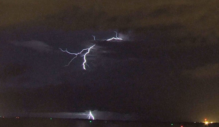
Lightning sparked three new wildfires across northern Minnesota's Superior National Forest, adding fresh fronts to a wildfire complex that has already scorched more than 73,000 acres since early July. The new blazes — the Hanson Lake Fire, the Mueller Fire, and the North Lake Fire — are all small so far, but they arrive as firefighters continue working a sprawling patchwork of larger fires stretching from the Echo Trail to the Canadian border.
The Hanson Lake Fire, burning between Slim Lake and the north arm of Burntside Lake, was estimated at just a quarter-acre, according to 5 EYEWITNESS NEWS. It is being managed by the Superior National Forest Service. The Mueller Fire, even smaller at a tenth of an acre, is burning on the southeast side of Mueller Lake along the shoreline in the Gunflint Ranger District, while the North Lake Fire, also a quarter-acre, sits northwest of the much larger Thumb Fire and is being handled by the July Lightning Complex team.
The three new starts are the latest chapter in a fire season that began when lightning strikes on July 6 ignited a string of blazes across the forest and the Boundary Waters Canoe Area Wilderness. Combined, the fires from that original lightning event — including the Bear Trap, Sioux, Camp, Thumb, and Wolfpack fires — now cover a combined 73,742 acres in the region, per the same report from 5 Eyewitness News.
Largest Blazes Still Being Contained
The Thumb Fire, burning six miles south of Gakijiwanong Anishnaabe Nation in Canada and ignited July 7, is the largest single fire in the complex at 18,134 acres, including 17,634 acres on the U.S. side, and was 48 percent contained as of the report. The Bear Trap Fire, which started the same day south of Lac La Croix about 20 miles north of Ely, has burned 38,098 acres — 29,705 of them in the United States — and was 41 percent contained. That fire has since been combined with the Dark Fire.
The Sioux Fire, sparked by lightning on July 9 north of the Echo Trail and east of Jeanette Campground, has burned roughly 6,912 acres and was 35 percent contained. The Wolfpack Fire, burning north of the Echo Trail and east of Loon Lake, was previously combined with the Sioux Fire and stood at approximately 6,239 acres with 23 percent containment. The Camp Fire, which also began July 7 about five miles north of Winton, was the most contained of the group at 84 percent, having burned around 4,359 acres. The cause of the Thumb Fire has not been determined, but lightning is blamed for the Sioux, Wolfpack, Bear Trap, and Camp fires.
About 761 personnel were assigned to the July Lightning Incident wildfires as of the latest count from 5 Eyewitness News, with the Eastern Area Incident Management Team having taken over oversight of the complex on July 31. Crews continue building containment lines, and helicopters and fixed-wing aircraft are shuttling equipment and firefighters into remote areas as needed, while equipment is being pulled from zones where suppression work is finished and redeployed to active fronts. Protection efforts are continuing for what officials describe as critical values at risk.
Rain Eases Restrictions, But Fire Risk Persists
Additional data from the Minnesota Incident Command System paints an even larger picture of the effort, putting the combined U.S. footprint of the July Lightning Incident at 65,145 acres as of August 6, with 917 personnel constructing control lines and shaded fuel breaks along the Echo Trail, according to a Minnesota Incident Command System update. That same day, emergency managers granted Echo Trail residents 24-hour access to the corridor, though pilot-car escorts and flagging operations tied to active firefighting have caused travel delays of up to 30 minutes.
Rain in early August helped moderate fire behavior enough that the Superior National Forest reopened the Fall Lake and Fenske Lake Campgrounds on August 7, ending emergency closures that had been in place since July 15, according to Boreal Community Media. Forest fire restrictions were also lowered from Class IV to Class III. Even so, new lightning continues to touch off small spot fires like the three reported this week, a reminder that the danger has not fully passed even as some access returns.
During the peak of the crisis in mid-July, local emergency managers set up a temporary public shelter at the Babbitt Municipal Building for residents ordered to evacuate the Highway 16/Fernberg Corridor, according to the USDA Forest Service. The scale of this year's response has also been shaped by a national resource crunch: the National Interagency Fire Center has kept the national preparedness level at Level 5, its highest stage, with nearly 30,000 personnel deployed across 98 uncontained large fires nationwide as of August 10, according to the agency.
How This Season Compares to Past Fires
Minnesota has seen far worse. The lightning-ignited Pagami Creek Fire burned roughly 93,000 acres across the Boundary Waters Canoe Area Wilderness in August 2011, remaining the state's largest wildfire in more than a century, per the U.S. Forest Service. More recently, the lightning-caused Greenwood Fire burned 26,797 acres in Lake County in August 2021, destroying 14 structures and forcing the first full temporary closure of the Boundary Waters wilderness since the 1970s, according to a summary on Wikipedia.
The wilderness at the center of this year's fires is enormous by design: established in 1964, the Boundary Waters Canoe Area Wilderness spans more than 1.09 million acres of boreal forest and includes over 1,100 lakes in the northern third of the Superior National Forest, per the Forest Service. It is also the most heavily visited wilderness area in the country, drawing about 250,000 visitors a year and accounting for roughly 10 percent of all use across the National Wilderness Preservation System, according to the Ely Chamber of Commerce — a figure that underscores what is at stake each time officials weigh closures against public access.
Fire itself is nothing new to this landscape. Historical research published by Quetico Superior Wilderness News notes that 19th-century wildfires in the region dwarfed today's blazes, including an 1863-1864 fire that consumed roughly 445,000 acres, nearly half of the modern wilderness area's footprint. For now, forest officials and fire crews are focused on the immediate task of containing the Hanson Lake, Mueller, and North Lake fires before they can grow, even as the broader complex from July's lightning storm continues to smolder across the region.



