

























































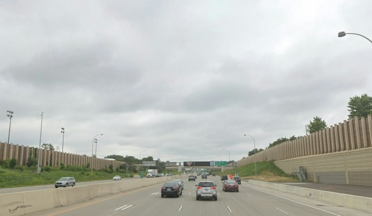
Minneapolis starts Tuesday in the low 60s under broken to overcast clouds, but the brief calm will not last. Showers and thunderstorms are expected to arrive late this morning, turning the afternoon into a wet and potentially messy one for commutes, errands and outdoor plans.
Rain Builds Through Tuesday Afternoon
A slight chance of showers and thunderstorms begins around 11 a.m., with rain becoming much more likely from noon through the afternoon. The high should reach about 68 degrees before temperatures slip toward the mid-60s, while south winds run near 10 mph.
The National Weather Service expects roughly a quarter-inch to a half-inch of rain in the Minneapolis-St. Paul area, with some heavier bursts possible. The broader forecast discussion places the highest rainfall totals farther south, where localized flooding will be a concern; no watches, warnings or advisories are currently listed for Minneapolis, according to the National Weather Service.
Fog Follows The Rain Before A Cooler Weekend
Showers could linger into early Tuesday evening before patchy fog develops overnight, with a low near 61. Wednesday begins foggy and mostly cloudy, but temperatures may climb to around 71 before a quieter, cooler pattern settles in.
Thursday should be partly sunny with a high near 64, followed by a mostly sunny Friday near 64. The updated timing and wetter Tuesday forecast sharpen the outlook described in Monday's Hoodline forecast, while the weekend looks mostly dry, with highs in the low to mid-60s.





