

























































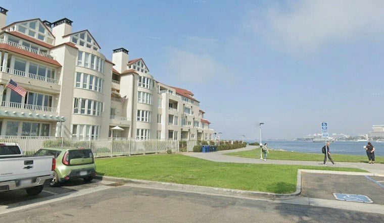
San Diego started Tuesday under patchy low clouds, but the region is heading into a sharp warm-up that will push inland temperatures into the 90s by the weekend. Along the coast, a Coastal Flood Advisory remains in effect for coastal areas through 5 p.m. Wednesday, September 30, as high tides and elevated surf create minor flooding and erosion. Strong rip currents remain a concern through Tuesday.
Sunny Tuesday Gives Way To A Warmer Weekend
Patchy low clouds are expected Tuesday morning, with skies becoming sunnier later and a high near 79 degrees. Clouds increase Tuesday night, with a low near 67 degrees, before Wednesday brings mostly sunny conditions and a high of 79.
The forecast points to a warmer Thursday and Friday, with highs of 85 degrees Thursday and 90 degrees Friday. Weekend temperatures are expected to be hot, with mostly clear skies and overnight lows rising into the 70s.
The shift follows earlier Hoodline coverage of the coastal flooding and incoming heat wave, but the latest outlook is notably sunnier and points to a more prolonged stretch of heat. The National Weather Service says a long-duration heat wave is likely to continue through much of next week, especially near the coast and in the valleys.
Coastal Flooding And Rip Currents Continue
The National Weather Service says high tides are expected to peak between roughly 6.8 and 7.1 feet from late morning through noon Tuesday and Wednesday. Elevated surf of 3 to 5 feet, with local sets reaching 7 feet on south-facing beaches, could produce minor flooding in low-lying coastal areas and additional erosion.
Beachgoers should use extra caution in the water because the same surf pattern can create strong rip currents. Drivers should not go around barricades or through standing water of unknown depth if coastal flooding affects roads or parking areas.



