

























































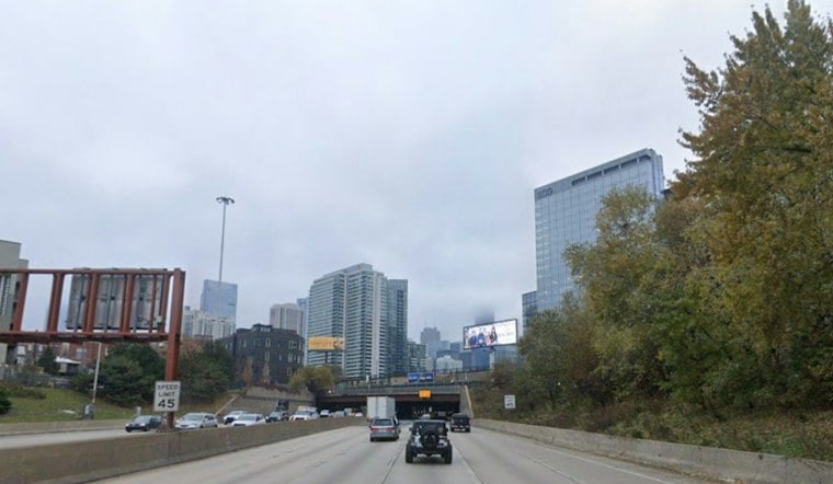
Heavy rain, fog and thunderstorms are expected to complicate Chicago’s Thursday morning commute, with sharply reduced visibility, slick roads and localized street flooding possible. The most intense rain should ease by late morning, but unsettled weather is expected to return Friday night and continue through much of the weekend.
Morning downpours could overwhelm trouble spots
Showers and thunderstorms are forecast across the area through the morning. Rainfall totals of 1 to 2 inches are possible, with higher amounts where storms repeatedly track over the same locations. Low-lying roads and places with poor drainage are especially vulnerable to standing water.
Thursday’s high should reach about 73 degrees before temperatures settle in the lower 70s during the afternoon. Skies should remain mostly cloudy, with light north to northeast winds.
Why localized flooding can occur
Chicago’s drainage system helps explain why a short, intense downpour can disrupt individual streets. The Metropolitan Water Reclamation District of Greater Chicago says most of the city has a combined sewer system, in which sewage and rainwater share the same pipes.
The district’s Tunnel and Reservoir Plan, or TARP, is designed to store combined sewage and stormwater during heavy rain. It currently has capacity for more than 11 billion gallons, and its four tunnel systems total 110 miles at depths of 150 to 300 feet, according to MWRD. Even when the Deep Tunnel has available space, however, street flooding and basement backups can occur if smaller neighborhood sewers cannot carry water into the larger system.
If TARP fills while heavy rain continues, MWRD says sewers can still overflow to waterways. The district also reports that combined-sewer overflows have declined from an average of 100 days per year to 50 since the tunnels were completed in 2006.
A broader Illinois rainfall trend
The current forecast does not establish how much rain will fall in each neighborhood or whether flooding will occur across Chicago. As longer-term context, NOAA’s Illinois State Climate Summary reports a dramatic increase in the number of 2-inch extreme-precipitation events, which can cause severe flooding. NOAA also says urban flooding can worsen when heavy rain falls on impervious surfaces such as roads, sidewalks and driveways, particularly where infrastructure is inadequate.
That statewide trend helps explain the risk posed by intense rainfall, but it does not show that Thursday’s storm was caused by the trend or determine its local effects.
Friday offers a brief pause before the next round
Rain chances should drop sharply Thursday afternoon and remain low through much of Friday. Friday will be mostly cloudy with a high near 71 degrees, while east-northeast winds could gust to about 20 mph.
The break is expected to end Friday night, when showers and thunderstorms become likely. The National Weather Service forecast calls for a low around 63 degrees as the next wet system arrives.
Weekend remains unsettled
Saturday is expected to be warmer but stormy, with a high near 79 degrees and an 80% chance of showers and thunderstorms. Rain chances remain high Saturday night, followed by cooler conditions and more rain Sunday, when the high may reach only about 69 degrees. Showers and thunderstorms could continue into Monday, with a high near 65 degrees, before drier weather develops Tuesday and Wednesday.
A past flood shows the range of possible impacts
For perspective, NOAA notes that a separate storm from April 16 to 19, 2013, caused severe flooding across parts of northern and central Illinois, with some areas receiving up to 10 inches of rain. That event was far wetter and more damaging than the conditions currently forecast for Chicago, so it is a historical comparison rather than a prediction for this storm.
For Thursday morning, drivers and pedestrians should allow extra time and avoid water covering roads when possible. Forecast amounts and flood effects can vary sharply from one neighborhood to another.





