

























































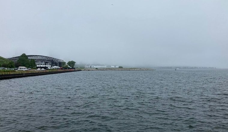
Milwaukee is waking up to moderate rain Saturday, but the wet start is only the opening act. Showers and thunderstorms are expected through the day, with 1 to 3 inches of rain possible and locally higher totals of 3 to 6 inches or more. Heavy downpours could create problems on city streets, in low-lying areas and near small streams.
Flood Watch Covers Milwaukee Through Saturday Evening
A Flood Watch remains in effect through 7 p.m. Saturday for Milwaukee County and surrounding parts of southeast Wisconsin. The National Weather Service says additional rounds of heavy rain could arrive this morning, with more showers and storms possible later in the afternoon and evening.
The latest outlook sharpens the threat described in Hoodline's earlier forecast, which warned of a soggy weekend but had fewer details on the evolving flood risk. Anyone encountering a flooded roadway should turn around rather than trying to drive through it.
Lake Michigan Waves Build Into Sunday
A Beach Hazards Statement is also in effect through Tuesday evening. Waves of 4 to 8 feet are expected Saturday and Saturday night, with dangerous currents along the shoreline.
The National Weather Service Milwaukee/Sullivan advises people to stay out of the water and away from piers, breakwalls and other exposed shoreline areas. Gusty onshore winds and high waves can create dangerous conditions.
Cooler, Windier Weather Arrives Sunday
Sunday brings rain showers, with a high near 66 degrees and a persistent northeast breeze.
Monday may bring lighter rain and a persistent northeast breeze. Tuesday should be partly sunny and near 62 degrees, with only a small chance of rain.
Drier Stretch Takes Over Midweek
Weather trends drier through the end of the week.





