

























































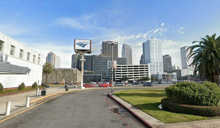
New Orleans is expecting a brief but potentially disruptive weather shift Wednesday, with showers and thunderstorms becoming more likely from late morning into the afternoon after a warm, humid start. The forecast calls for a daytime rain chance near 50%, generally light storm totals, east winds of 5 to 15 mph and gusts that could reach 30 mph. Storms are most favored south of Interstate 10, according to the National Weather Service.
Rain Rate Matters More Than The Daily Total
A forecast of less than a tenth of an inch in many locations does not rule out short-lived street ponding. The Sewerage & Water Board of New Orleans says its drainage system was designed to move about half an inch of water per hour after the underground network fills. Rain falling at more than an inch per hour can temporarily outpace that capacity, even when the storm’s total rainfall is modest, according to the Sewerage & Water Board.
That threshold helps explain the practical risk Wednesday without establishing that flooding will occur. The available forecast describes scattered storms and brief heavy downpours, but it does not determine which streets will pond or whether rainfall rates will exceed the drainage system’s short-term capacity.
A Heavier 2024 Event Offers A Limited Comparison
The clearest recent comparison is much wetter than Wednesday’s forecast. During a separate rain event on April 10, 2024, several New Orleans drainage pumping stations recorded between 5 and 7 inches of rain, the Sewerage & Water Board reported. That event demonstrates how quickly intense rainfall can challenge the system, but its much higher totals mean it should be treated as a stress-test example, not a prediction of Wednesday’s conditions.
New Orleans’ drainage network includes more than 68,000 catch basins, 1,500 miles of lateral underground drainage pipes, 200 miles of open and underground canals, and 120 pumps in 24 drainage pump stations. The scale of that system provides important capacity context, but it does not eliminate the possibility of temporary problems during very intense bursts.
Officials Are Still Expanding Reliability
The Sewerage & Water Board says its Power Complex is operational and that further work is planned to add redundancy and reliability. Separately, the Southeast Louisiana Urban Flood Control Project includes 20 New Orleans projects, including new drainage pumping stations in Carrollton and along the Industrial Canal, according to the board’s Power Complex plans and stormwater project overview.
Those projects are longer-term responses to the city’s drainage demands; they do not change the forecast for Wednesday or show that any particular location will flood during this storm.
Drier Weather Follows, But The Pattern Is Not Over
Showers and thunderstorms are expected to diminish Wednesday evening, followed by a sunnier and drier Thursday and Friday. The extended outlook then turns hotter Saturday, with another chance of storms Sunday and higher rain chances Monday and Tuesday, according to The Weather Channel.
The broader regional backdrop is also becoming more challenging. The U.S. Climate Resilience Toolkit says the frequency and intensity of single-day heavy rainfall events has increased steadily in the Southeast and projects that trend to continue. That regional finding does not establish that Wednesday’s storm will be unusually severe, but it helps explain why short-duration rainfall remains a recurring infrastructure concern.
Gulf Conditions Remain Hazardous For Boaters
Marine conditions will remain a separate concern. A Small Craft Advisory is in effect through 4 p.m. Thursday for several Gulf waters, where open-Gulf seas could reach 6 to 9 feet as stronger easterly winds persist, according to the National Weather Service. Conditions are expected to improve gradually late Friday and Saturday, but Wednesday’s storms and rough seas make the waterfront a poor place to assume that a low rain total means low risk.





