

























































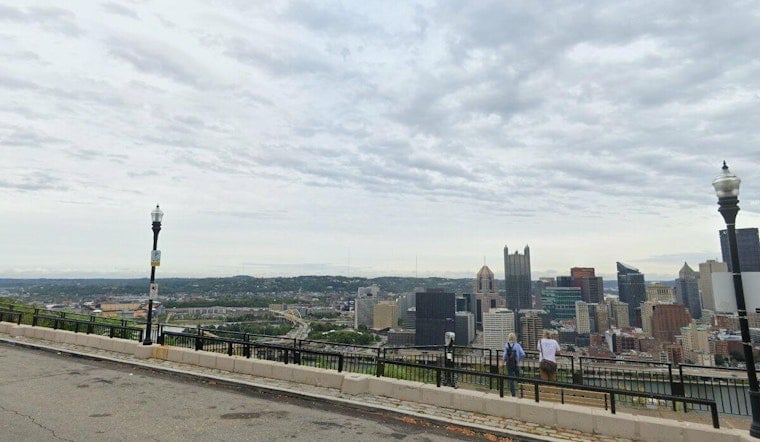
Pittsburgh starts Saturday under fog and mist with temperatures around 70 degrees, but the murk will not last all day. Showers and thunderstorms are possible from the morning through late afternoon, with a high near 81, before a much cleaner forecast takes over Sunday and Labor Day.
Foggy Start, Storm Chances Through Afternoon
Fog may linger through early Saturday morning, then showers and thunderstorms could develop between 8 and 10 a.m. and return intermittently from late morning through 5 p.m. Rain is possible through the afternoon, according to the National Weather Service.
Winds will stay light from the northwest at 1 to 7 mph, while the highest rain chances are expected mainly south of I-70 as drier air moves into the region. No watches, warnings or advisories are listed for the Pittsburgh forecast area, but thunder could still disrupt outdoor plans.
Sunday And Labor Day Look Like The Weekend Winners
Saturday night's storm chance should fade before 7 p.m., leaving partly cloudy skies and a low near 60. Sunday is forecast to be sunny with a high near 80, followed by a sunny Labor Day near 81.
That brighter setup is a sharp turn from Friday's unsettled weather and gives Pittsburgh a dry stretch for parks, patios and last-call summer plans. An earlier Hoodline forecast outlined the broader holiday-weekend transition, while Saturday's update narrows the focus to the remaining fog and scattered storms.
Warm-Up Returns Midweek
Tuesday will be mostly sunny near 84 degrees, while Wednesday's forecast remains unsettled. The later-week outlook is still developing.
For Saturday, keep rain gear handy through the afternoon and watch for lightning if heading outside. Sunday and Monday look like the better bets for longer outdoor plans.


