

























































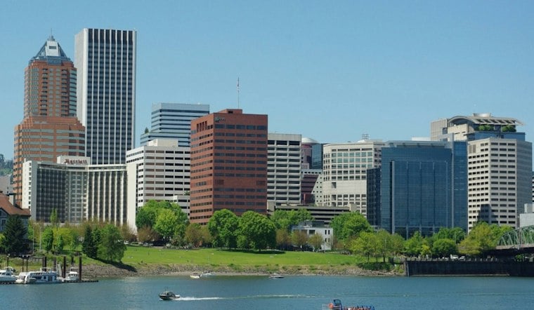
Portland begins the week with a mild, mostly dry forecast: morning clouds and patchy fog should give way to some afternoon sun, with temperatures rising into the mid-70s Monday. The National Weather Service forecast calls for another mild day Tuesday and dry conditions through Wednesday before rain chances increase Thursday.
A mild start, then a wetter turn
Monday’s high is expected to be about 75 degrees, followed by a low near 56 Monday night. Tuesday is forecast to reach roughly 73 degrees, with overnight temperatures dropping into the lower 50s. By Thursday, the high is expected to be near 69 degrees as clouds and rain enter the forecast, according to the National Weather Service.
The forecast establishes a shift from several dry days to a wetter Thursday, but it does not by itself show how much rain will fall or whether the rain will produce flooding, sewer overflows or other impacts. Those outcomes will depend on the eventual amount and intensity of precipitation.
Temperatures are close to normal
Monday’s forecast high is close to Portland’s long-term September 21 normal. The National Weather Service Portland climate report lists a normal high of 75 degrees and a normal low of 53 degrees for the date.
Rainfall so far this month has been slightly below the seasonal pace at the Portland observing station. The same climate report lists 0.67 inches of precipitation through Sept. 20, compared with a 0.86-inch normal, a deficit of 0.19 inches. That short-term difference does not establish that the current dry stretch is unusual or part of a longer-term trend.
What rain can mean for Portland’s system
Rainfall moves through a network that differs by neighborhood. The Portland Bureau of Environmental Services says many older neighborhoods have combined sewer systems, while separated systems carry sewage and stormwater through different pipes.
That infrastructure context does not mean Thursday’s forecast will cause an overflow. Portland has documented such events during heavier or more sustained rain, however. In a March 12, 2026, advisory, the Bureau of Environmental Services told people to avoid contact with an affected stretch of the Willamette River during a combined sewer overflow and for 48 hours afterward because of increased bacteria levels. The prior incident is a safety precedent, not evidence that the current forecast will produce the same result.
Residents can take a simpler precaution before the rain arrives: the Portland Bureau of Transportation advises clearing reachable leaves and surface debris from neighborhood storm drains. The agency warns that clogged drains can contribute to ponding on streets and at intersections.
The forecast remains changeable
The main near-term takeaway is the timing of the pattern change: mild and comparatively dry weather early in the week, followed by a cooler and wetter Thursday setup. Forecast details can change as the system approaches, so the National Weather Service outlook remains the best source for updated rain timing and expected amounts.





