

























































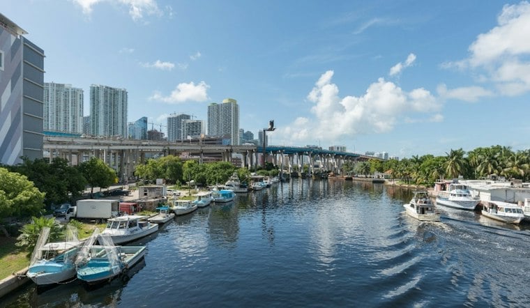
Wednesday's forecast includes temperatures around 75 degrees. Showers and thunderstorms are expected to dominate the day, with an 80% chance of rain and possible heavy downpours and flooding.
Wednesday Could Turn Into A Street-Flooding Problem
Storms may arrive in waves from the morning through the evening, with deep moisture across the city. Heavier cells could bring downpours; after rainfall in preceding days, the National Weather Service in Miami says localized flooding remains a concern across South Florida's east coast metro area.
Thursday Stays Hot As Rain Chances Ease Slightly
Thursday should bring a high near 88 degrees, with showers and thunderstorms possible through the day. The rain chance is about 70%, and no watches, warnings or advisories are currently listed.
Weekend Forecast Finally Looks Less Soggy
Friday will still be storm-prone, with late-week highs in the upper 80s to near 90 and rain chances elevated through Friday. For the weekend, rain chances range from 30% to 50% across the southern half of the forecast area, with highs in the upper 80s and a somewhat drier north to northeast wind pattern.
That is a meaningful shift from Hoodline's earlier forecast, which tracked a wetter stretch across the region. Outdoor plans should still include a backup through Friday, while Saturday and Sunday offer better odds for beach time, errands and patio seating.
Plan Around The Storms
Allow extra time for Wednesday travel, avoid driving through flooded roads and move indoors when thunder is heard. Even brief breaks in the rain may not last long, with storms capable of producing lightning, heavy downpours and sudden gusts.





