

























































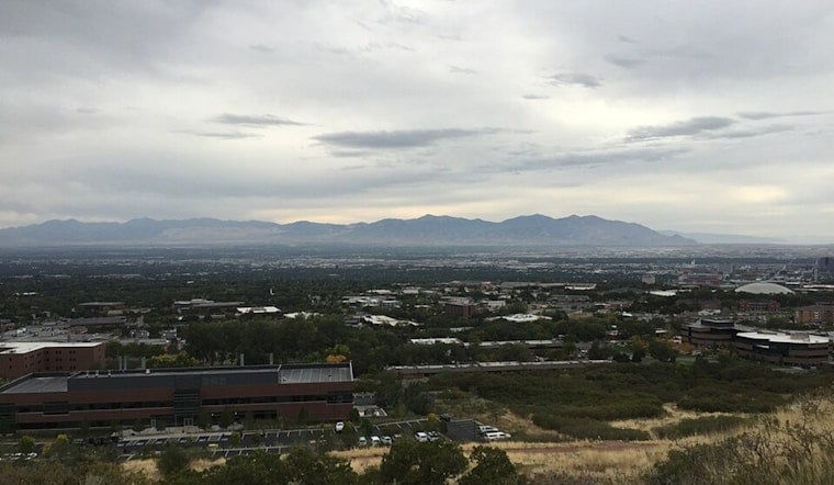
Salt Lake City starts Sunday clear and around 68 degrees, but the calm-looking morning will not last all day. Temperatures should climb to about 86 before a slight chance of showers and thunderstorms arrives after noon, with a stormier evening and overnight ahead.
Afternoon Winds And Storms Pick Up
South-southeast winds will run about 8 to 15 mph through the day, with stronger gusts possible across the region. The chance of rain remains modest in the city at 20%, but isolated storms could bring brief heavy rain, lightning, small hail and sudden wind shifts, according to the National Weather Service in Salt Lake City.
Sunday night brings a 40% chance of showers and thunderstorms, mostly cloudy skies and a low near 59 degrees. Gusts could reach 33 mph, so patio furniture, outdoor events and late-day driving plans may need a quick rethink.
Flood Threat Focuses Elsewhere In Utah
The National Weather Service has a Flood Watch from 9 a.m. through Sunday evening for portions of central and southern Utah, where tropical moisture could fuel heavy rain and flash flooding. Salt Lake City is not listed in the watch area, but anyone heading south for canyon, slickrock or burn-scar recreation should stay alert and avoid flooded roads or normally dry washes.
The latest forecast is a sharper update to the weekend storm outlook covered in an earlier Hoodline forecast, with the timing of Sunday evening's storms and Monday's cooldown now more clearly defined.
Labor Day Brings A Noticeable Cooldown
Monday will be much cooler, with a high near 77 and a 40% chance of showers and thunderstorms before 9 a.m., followed by only a slight chance later in the day. Skies should turn partly sunny, and Monday night will settle near 57 degrees under mostly clear conditions.
Sunshine Returns Tuesday
The cooler air will not stick around for long. Tuesday should be sunny and near 82, followed by mostly sunny skies and highs around 86 Wednesday, 87 Thursday and 88 Friday, with another slight chance of showers and thunderstorms returning by Saturday.





