

























































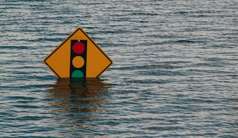
New Orleans faces a stormy stretch, with locally heavy rain and flooding concerns later in the week.
Storms Could Linger From Morning Into Afternoon
Thursday's high is expected to reach about 89 degrees, though rain-cooled readings could slip into the mid-80s later in the day. Rain chances are around 80%, with only isolated to scattered storms expected and more widespread activity later, while roughly a half-inch to three-quarters of an inch of new rainfall is possible.
The National Weather Service says the most intense storms could produce very heavy rain in a short time, creating localized street flooding and overflowing in low-lying areas. There are no watches or warnings posted for the New Orleans area, but residents should avoid driving through flooded roadways and take lightning seriously.
Wet Weekend Ahead For New Orleans
Why Short Bursts Can Flood Streets
According to the Sewerage & Water Board of New Orleans, the city's drainage system includes more than 68,000 catch basins, 1,500 miles of lateral underground drainage pipes, 200 miles of open and underground canals, and 120 pumps in 24 drainage pump stations. The agency says rain falling at more than 1 inch per hour will most likely outpace the system temporarily, potentially causing street flooding until it catches up.
For comparison, the Sewerage and Water Board reported that a July 11, 2026, storm produced more than 3.5 inches in one hour in parts of New Orleans, 2 to 3 inches in Mid City and instantaneous intensities of 6.5 to 7.5 inches per hour; the agency said the rainfall exceeded drainage capacity in many areas. That was far more intense than the roughly half-inch to three-quarters of an inch forecast for Thursday. The agency also advises residents to clear leaves and trash from in front of catch basins before rain, since debris can block drainage and increase the chance of street flooding, according to its preparedness guidance.
Friday brings another round of likely showers and thunderstorms, with a high near 89 and a heat index that could reach 105 degrees. Saturday could bring showers and thunderstorms, with rain chances remaining elevated.
Sunday remains unsettled, with storm coverage gradually easing. This latest update adds to Hoodline's earlier forecast, with locally heavy rain and flooding risk later in the week.
Heat Builds Again Next Week
Coverage eases Sunday and Monday, while Monday's heat index could reach 111 degrees. Monday night temperatures could potentially reach 105 degrees.





