

























































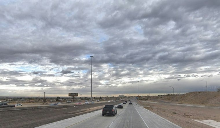
El Paso is waking up to a rough Friday, with partly cloudy skies, strong northeast winds and patchy blowing dust in the forecast. Temperatures near 54 degrees early will rise only to about 65, while gusty conditions make it feel more like winter than mid-October. The biggest weather concerns are expected during the morning commute and outdoor plans.
A National Weather Service High Wind Warning remains in effect through noon Friday across much of the El Paso area. Northeast winds of 30 to 40 mph could produce gusts up to 60 mph locally, with stronger gusts possible across exposed mountain slopes.
Blowing Dust Threat Eases After Morning
A Blowing Dust Advisory is scheduled to remain in effect until 9 a.m. Friday. Visibility could drop quickly in isolated areas, creating difficult conditions for drivers, especially those in high-profile vehicles.
If blowing dust moves across a roadway, officials advise drivers to pull as far off the road as possible, put the vehicle in park and turn off the lights. The warning also calls for securing loose outdoor items that could be tossed around by the wind.
Calmer Skies Arrive This Weekend
Saturday should bring mostly sunny skies, a high near 63 and lighter east-southeast winds of 10 to 16 mph. Saturday night will be partly cloudy with a low around 48, followed by a warmer Sunday with highs around 79 to 80 degrees; skies are expected to be sunny, though storms are possible.
Warmup Builds Into Next Week
The warmup continues Monday and Tuesday, when highs are expected to reach 79 and 83 degrees under mostly sunny skies. A slight chance of showers and thunderstorms could arrive Monday night, with rain chances becoming more noticeable Wednesday and Thursday as moisture moves into the region.





