

























































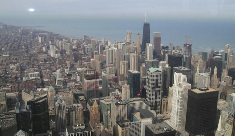
Chicago is waking up Wednesday under low clouds, with temperatures near 64 degrees and a damp, gray start across the city. Showers or drizzle are possible Wednesday before the clouds gradually break and temperatures slip into the low 60s.
The National Weather Service Chicago/Romeoville puts precipitation probabilities at 10% to 20% for the specified areas Wednesday, with northeast winds increasing to 15 mph. Wednesday night should stay mostly cloudy and mild by October standards, with a low near 58 and continued onshore flow.
Thursday Brings Periods of Rain
Thursday is shaping up to bring periods of rain. Drizzle or rain showers may begin as early as daybreak, with higher coverage during the afternoon and evening. Thunderstorms are possible Thursday evening, with a high near 60.
Another round of rain is possible Thursday night. Low clouds and wet roads could make for a messy commute, particularly during the morning and evening rushes.
Friday Turns Windy And Much Colder
Friday brings a chance of rain, partly sunny skies and northwest winds around 20 to 25 mph. Gusts could become considerably stronger around the Chicago area, especially near Lake Michigan, while temperatures reach the lower 50s.
The bigger change arrives Friday night, when skies clear and colder air settles in. Inland parts of the region could see frost or even a freeze, while Chicago neighborhoods near the lake are expected to remain somewhat milder, with the city forecast calling for a low near 44.
Weekend Warming Trend
Saturday temperatures will be in the 50s, with overnight lows in the upper 30s. Sunday temperatures are expected to be in the 60s, followed by a warmer stretch into Monday and Tuesday.
For Wednesday, a light jacket and an umbrella are the practical combination; by Friday, add a wind-resistant layer.




