

























































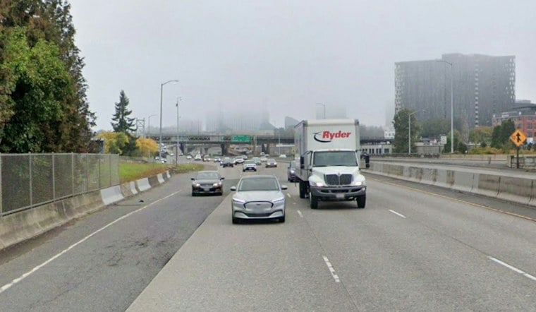
Portland is starting Saturday with a chilly blanket of fog, but the gray opening will give way to a brighter afternoon before a much wetter Sunday. The forecast called for a low near 40 degrees in Portland.
Fog First, Sun By Afternoon
Patchy fog is expected to linger through late morning Saturday, followed by partly sunny skies and a high near 62 degrees. Winds should stay light, generally around 1 mph, making for a calm and comfortable afternoon once the fog lifts.
A Frost Advisory remains in effect until 10 a.m. Saturday across the Portland metro and nearby areas, with sensitive plants vulnerable to the cold. The National Weather Service recommends covering or moving tender outdoor plants until temperatures rise.
Rain Arrives Sunday And Sticks Around
The dry window closes early Sunday, with rain possible after 5 a.m. The NWS gives the I-5 corridor a 70% to 80% chance of at least a quarter-inch of rain from 5 a.m. Sunday to 5 a.m. Tuesday. Portland should reach only about 60 degrees.
That is a sharper wet turn than the earlier late-week outlook, which had the weekend rain arriving more tentatively. The Sunday–Monday system is expected to be the more impactful one.
Monday Stays Wet Before A Brief Pause
Rain continues Sunday night and Monday. Overnight lows should remain in the mid-40s, a noticeable change from Saturday morning's frosty start.
Tuesday offers only a slight chance of light rain, though skies remain mostly cloudy with a high near 61. Another round of showers is possible Wednesday, while Thursday brings a lower rain chance and some partial sunshine.
Best Bet For Outdoor Plans
Saturday afternoon is the weekend's best window for walks, errands and outdoor plans once the fog clears. Keep a rain jacket handy for Sunday and Monday, when the forecast shifts decisively back into classic Portland fall mode.





