

























































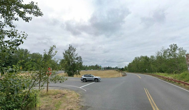
A relatively short new trail connection near Troutdale is making it noticeably easier for hikers, cyclists and anyone rolling through on wheels to reach the Sandy River Delta. The link ties into miles of existing paths stretching from Portland out toward the Historic Columbia River Highway State Trail, giving outdoor-lovers a smoother way into one of the region's most popular natural areas.
According to KGW, the new connector opens up access to a broader network of trails running from Portland all the way to the Historic Columbia River Highway State Trail, even though the segment itself is short. Project details from the Oregon Department of Transportation describe the path as connecting to the existing pedestrian and bicycle tunnel underneath I-84, providing a paved, designated route for visitors walking, biking or rolling into the Sandy River Delta.
How the Pieces Fit Together Near Troutdale
The city of Troutdale has also been building out its own piece of the puzzle. According to the city, the Port of Portland has been moving forward on a trail designed to connect with Troutdale's own Sandy River Trail, with work described as beginning that fall on a paved path running from the I-84 bridge north along the river's west side, per the City of Troutdale.
Troutdale officials have also outlined a separate effort, the Confluence Sandy River Park and Trail project, which the city says will close a gap connecting downtown Troutdale with the regional 40 Mile Loop trail system and the existing trail along the I-84 bridge that leads into the Sandy River Delta natural area and future trails into the Columbia River Gorge, according to the city's project page.
Part of a Bigger Regional Push
The Troutdale-area work fits into a wider pattern of trail-building happening around East Multnomah County. Separately, KGW has reported on an ODOT project for a bike and hiking path stretching 73 miles from Troutdale to The Dalles, with the agency expecting 65 of those 73 miles to be finished once a particular phase of work wrapped up.
Other recent additions in the area include the three-mile paved Ch'ak Ch'ak Trail, which BikePortland reports connects Chinook Landing Park and the Marine Drive Path to existing paved paths along the Columbia River and Sandy River Delta area. The outlet also described a separate, not-yet-open path at the time of its reporting that was planned to connect an existing path under I-84 to the Historic Columbia River Highway, and noted that Troutdale's Sharon Nesbit Heritage Park was about to open as another link in the 40-Mile Loop, according to BikePortland.
Taken together, the projects point toward a steadily filling-in trail map on Portland's eastern edge, one that's gradually linking neighborhood paths, regional loops and the Columbia River Gorge into a single connected system for walkers and cyclists alike.




