

























































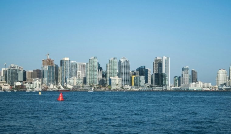
San Diego wakes to a cloudy, cool Tuesday morning, but the weather is about to flip from damp to dry. A few showers are winding down near the coast, with temperatures in the low 60s early and a high near 71 expected this afternoon. The bigger story today is along the shoreline, where minor coastal flooding is possible through early afternoon before a run of sunshine and rising heat takes over.
Coastal Flooding Continues Through Early Afternoon
A Coastal Flood Advisory remains in effect for San Diego County coastal areas until 2 p.m. Tuesday. The National Weather Service says the highest tide, around 7 feet, is expected between 10 and 11 a.m., with surf running 3 to 5 feet and local sets reaching 7 feet.
That combination could flood some waterfront roads, parks and parking lots, although only isolated road closures are expected. Drivers should allow extra time, avoid barricades and never drive through water of unknown depth.
Sunny Skies Give Way To A Serious Warmup
After the morning clouds and showers clear, Tuesday afternoon should turn sunny with northwest winds between 0 and 10 mph. Tuesday night will be clear and cooler, with a low near 59, before Wednesday climbs to about 78 degrees.
The warmup accelerates Thursday, when San Diego could reach 86 degrees, followed by a high near 91 on Friday. Santa Ana winds will strengthen Thursday and Friday, with the strongest gusts expected inland and in the mountains; easterly winds could also push closer to the coast.
Temperatures remain elevated through the weekend, with highs near 88 Saturday and 87 Sunday, before easing to about 82 Monday. The quick shift from Tuesday's coastal flooding threat to sunny, hot and increasingly dry conditions is a sharp turn from the wetter setup detailed in Monday's Hoodline forecast.





