

























































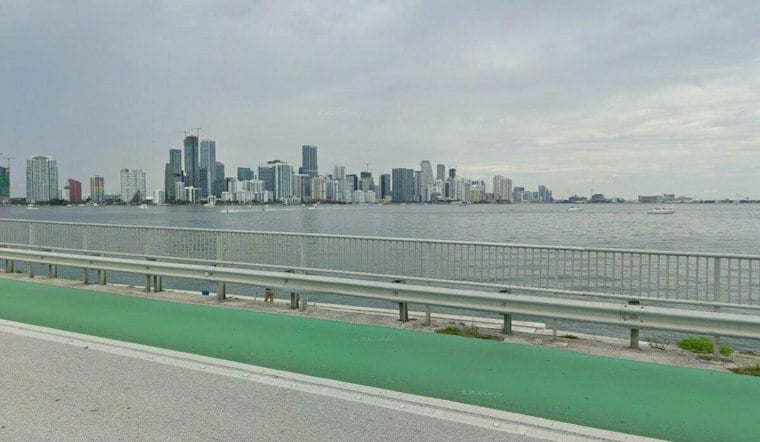
Miami starts Sunday with temperatures near 72 degrees, but the calm-looking morning is a setup for a rougher day. Showers and thunderstorms are expected across the city, with a high near 82, northeast winds reaching 23 mph and gusts up to 31 mph.
The latest outlook expands the coastal threat into Tuesday morning and keeps dangerous beach conditions in place through late Tuesday night. It is a more serious follow-up to Saturday's Hoodline forecast, with stronger winds, repeated storms and the possibility of major tidal flooding early next week.
Storms And Gusty Winds Take Over Sunday
Rain chances rise through the morning, with showers and thunderstorms likely from late morning into the afternoon and continuing into Sunday night. The National Weather Service Miami office says rainfall could total roughly one-half to three-quarters of an inch, while localized flooding remains possible in poor-drainage areas.
Winds will shift from northerly to northeast and strengthen through the day, reaching around 20 to 23 mph by afternoon. The breeze may make showers move quickly, but it will also create rough conditions for drivers, boaters and anyone with loose outdoor items that could blow around.
High Tides Add To The Flooding Risk
A National Weather Service Coastal Flood Advisory remains in effect through 2 a.m. Monday for coastal Miami-Dade County, with moderate flooding expected around high-tide cycles. A Coastal Flood Watch begins late Sunday night and continues through Tuesday morning as water levels, onshore winds and king tides combine.
Low-lying roads, homes, businesses and shoreline areas could see flooding, and some roads may close if water rises. Major coastal flooding is possible Monday and Tuesday, particularly along the eastern metro area, where strong northeast winds can push additional water toward the coast.
Monday And Tuesday Stay Windy And Unsettled
Monday brings another high near 82 degrees, an 80% chance of showers and thunderstorms, and northeast winds of 25 to 29 mph with gusts as high as 39 mph. Showers and thunderstorms remain likely Monday night and Tuesday, with Tuesday's high near 83 and gusts potentially reaching 36 mph.
The pattern gradually eases later in the week, but Wednesday still carries a 60% chance of rain and thunderstorms with a high near 84. Rain chances fall to about 50% Thursday and 40% Friday, while northeast winds slowly become less intense.
Beachgoers Should Stay Out Of The Water
The high risk of rip currents continues along Atlantic beaches through late Tuesday night, with dangerous surf and rough seas expected through at least the middle of the week. Swimmers should stay near lifeguards, and anyone caught in a rip current should float, avoid fighting the current and move parallel to shore when possible.
Drivers should never go around barricades or drive through water of unknown depth. Residents in flood-prone areas should protect property ahead of high tide and allow extra time for travel as conditions deteriorate Sunday night into Monday.





