

























































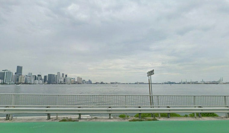
Miami is waking up Tuesday around 75 degrees, but the weather will feel anything but calm. Showers and thunderstorms are likely through the day, with northeast winds gusting as high as 40 mph and coastal flooding creating the biggest concern for low-lying areas.
Temperatures should climb into the low 80s, while rain chances remain near 80% from late morning through the afternoon. Most rainfall will be brief, but downpours could still cause isolated urban flooding, especially near poor-drainage streets.
Wind And Flood Advisories Remain In Effect
The National Weather Service Miami says a Wind Advisory continues until 8 p.m. Tuesday, with northeast winds of 20 to 28 mph and gusts potentially reaching 40 mph in coastal and metro areas. The agency warns that unsecured objects may blow around, tree limbs could come down and high-profile vehicles may have difficulty on the road.
A Coastal Flood Warning is in effect through 8 p.m. Wednesday for coastal Miami-Dade, with significant flooding possible during high tide cycles. King tides add to the risk of flooded roads and shoreline erosion in the City of Miami.
Conditions Ease Later This Week
Wednesday should remain breezy, with temperatures in the mid-80s and showers or thunderstorms possible. Winds are expected to ease Thursday as temperatures rise into the mid-80s, though scattered afternoon storms will remain possible through the weekend.
Beachgoers should still avoid the water through Wednesday evening because dangerous rip currents and rough surf are expected along the Atlantic coast.




