

























































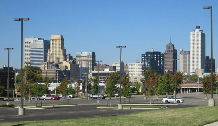
Memphis woke to temperatures in the 40s to mid-50s Tuesday morning, with the thermometer headed for a dry, partly sunny high near 76. The bigger story is the unusually long warm spell: Wednesday and Thursday are expected to climb to around 79 degrees before rain finally enters the Halloween forecast.
Tuesday night will be mostly cloudy with a low near 54, followed by sunny skies Wednesday and a mostly clear Wednesday night. Thursday stays sunny and warm, while Friday turns partly sunny with a high near 78. Morning fog may still develop in low-lying areas, so early commuters could see a brief visibility dip before the day warms up.
Warm Weather Comes With Fire Concerns
The National Weather Service Memphis office says elevated fire-weather concerns will continue through at least midweek as dry vegetation and low afternoon humidity make it easier for fires to start and spread. Winds are expected to stay generally light, but residents should still follow local burn restrictions and avoid activities that create sparks or open flames.
Friday night brings the first meaningful change, with a slight chance of rain showers after 1 a.m. Saturday. The weekend carries a 50% to 60% chance of more than a quarter-inch of precipitation; Saturday is expected to be mostly cloudy with a high around 75 degrees. That wetter turn sharpens the Halloween outlook described in Monday's Hoodline forecast.
Halloween Weekend Turns Wetter
Showers and thunderstorms become likely Saturday night, with a low near 60. Sunday will be unsettled, with partly sunny skies and a high around 78.





