

























































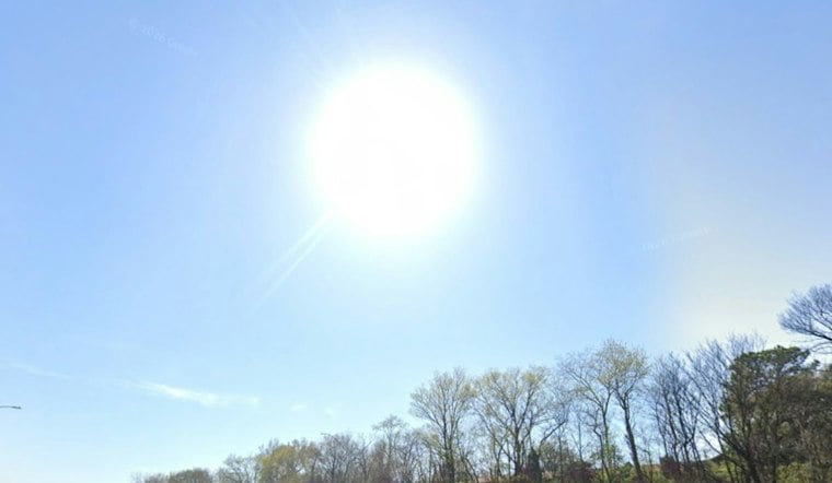
Memphis is waking up to clear skies Tuesday, while overnight lows are forecast in the 40s across the region, with some areas of West Tennessee possibly near or below 40. Sunshine is expected to lift temperatures to about 78 degrees, with light northeast winds and no rain in sight. The bigger concern is not a washout but the dry air behind the blue skies, which is keeping fire danger elevated across the Mid-South.
Sunny Tuesday Gives Way To A Warm, Dry Stretch
By afternoon, northeast winds should stay around 5 mph or less as humidity drops sharply. The National Weather Service says dry weather and low afternoon humidity will persist, extending the sunny pattern described in Monday's Hoodline forecast.
After sunset Tuesday, skies will remain mostly clear and temperatures are forecast to fall into the 40s across the region. Wednesday will be slightly warmer, with a high near 79 and another light northeast breeze. Thursday and Friday should repeat the formula, with highs near 80 and overnight lows in the low to mid-50s.
Saturday's high is forecast near 81, followed by a Sunday high around 81. Monday should remain mostly sunny near 75, and the forecast keeps rain chances effectively at zero through the period. For outdoor plans, the practical setup is a light layer in the morning and sunglasses by lunch.
Low Humidity Raises Fire Risk
The National Weather Service says elevated fire-weather concerns will continue through much of the week, with very dry fuels and no wetting rain on the horizon. Winds are forecast to remain light, which should limit rapid spread compared with a windy fire-weather day, but it does not remove the risk. Residents should follow any local burn bans and dispose of cigarettes, matches and ashes carefully.





