

























































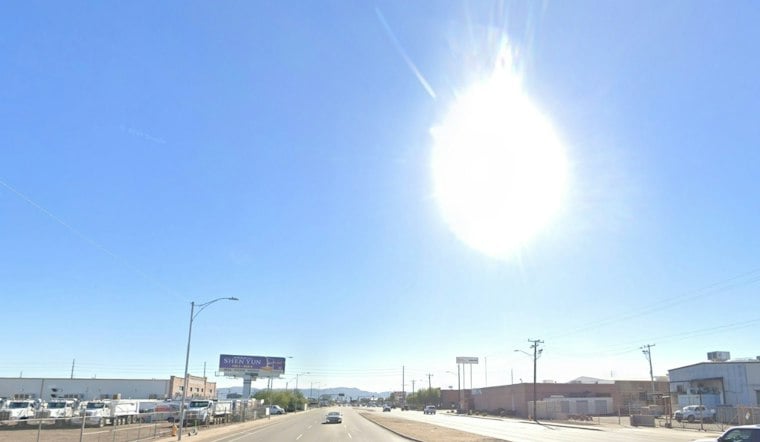
Phoenix is heading into another blast of triple-digit heat, with a sunny Tuesday climbing to around 100 degrees before the Valley finally gets a shot at rain this weekend. The morning starts near 80 under mostly clear skies, but the shade will not last long. A cooler, wetter pattern is expected to arrive Sunday and linger into Monday.
The National Weather Service describes highs around 100 Wednesday and in the low 100s Thursday across south-central Arizona. Friday stays sunny near 100, and east winds could gust to 25 mph as the week transitions toward the weekend.
Rain Chances Return After Saturday
Saturday should be noticeably less hot, with a high near 95. Rain chances remain at zero through Saturday, then increase late Saturday into Sunday, when showers and thunderstorms become possible; Sunday’s high is forecast near 89, with gusts up to 25 mph.
Rain chances continue Monday, with a high near 84. Rainfall amounts remain uncertain in Phoenix, though a few heavier bursts are possible across the wider region.
Heat Relief Is Still Available After Seasonal Closures
Even with rain on the horizon, the immediate concern is the run of 100-degree afternoons. The City of Phoenix says its dedicated seasonal heat-relief sites closed October 1, but public libraries continue to offer air-conditioned space during normal business hours; residents can also call 2-1-1 for current options.
For outdoor plans, the safest window this week is early morning, before the afternoon heat peaks. Drink water, take frequent breaks, and keep a closer eye on children, older adults, pets and anyone working outside; the weekend’s cooler forecast is welcome, but it is not a reason to ignore heat exposure Tuesday through Friday.





