

























































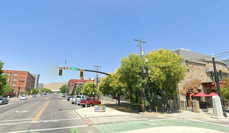
Salt Lake City is starting Wednesday clear and mild, but the calm setup has an expiration date. The city could reach 71 this afternoon, with showers possible. Then the late-week forecast takes a distinctly wetter, cooler turn, with widespread rain Thursday night and a Friday high near 59.
Warm Wednesday Gives Way To Afternoon Storm Chances
The National Weather Service forecast points to mostly sunny skies into Wednesday afternoon, with showers possible. Outdoor plans can mostly proceed, but the afternoon is no longer a completely rain-free bet.
Thursday Night Looks Like The Wettest Stretch
Thursday will be mostly cloudy, cooler and unsettled, with a high near 73 and a 50% chance of showers and thunderstorms. The odds rise sharply Thursday night, when rain and thunderstorms are expected and new rainfall could reach roughly one-half to three-quarters of an inch. Cooler conditions are expected Friday, with precipitation focused more on northern Utah.
Mountain Snow Arrives As Valley Temperatures Drop
The broader northern Utah storm is expected to bring accumulating snow to the Wasatch and Uinta Mountains, with 2 to 6 inches possible above about 9,000 feet. The National Weather Service forecast discussion says snow levels could fall toward 7,000 to 7,500 feet late Friday into Saturday.
Flood Watch Focuses Outside Salt Lake Valley
A Flood Watch is posted for portions of southern through east-central Utah from Wednesday into Thursday evening, but it does not include the Salt Lake Valley. Travelers should allow extra time and avoid flooded roadways.
Sunshine Returns For The Weekend
Saturday brings a slight chance of morning rain before partly sunny skies and a high near 55. Cool and unsettled weather is increasingly likely to persist through the weekend.





