

























































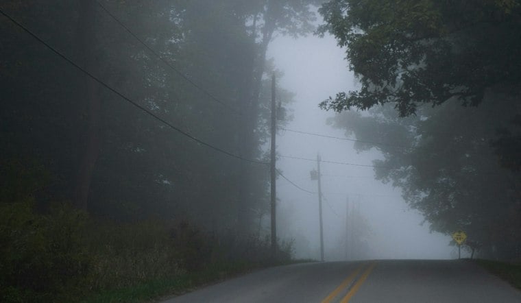
Partly cloudy skies are in the forecast, but the calm opening act will not last: Patchy fog is expected before 9 a.m., followed by a growing chance of rain showers through the afternoon and evening.
The city could reach about 72 degrees around midday before slipping toward the upper 60s later in the afternoon. Hourly forecasts put the rain chance near 40% in the early afternoon and above 50% by late afternoon, so a dry morning commute could give way to a damp trip home.
Showers Build Into Thursday
Thursday could bring rain across the Bay Area, with a 20%–40% chance of showers.
The National Weather Service says the broader Central Coast could also see thunderstorms from Wednesday afternoon into Thursday morning. That threat is more pronounced south toward the coast than in San Jose, but stronger cells could bring brief heavier downpours and gusty winds; drivers should slow down and avoid flooded roads.
A Sunny Weekend Follows
Friday brings a reset, with morning fog and mostly sunny skies later, topping out near 71 degrees. Saturday should be mostly sunny near 73, followed by a warmer Sunday near 79 under mostly clear skies.
The latest outlook sharpens the wet-weather turn flagged in Tuesday’s Hoodline forecast, especially for Thursday. For outdoor plans, Wednesday morning remains the better window; Thursday is the day to keep a jacket and umbrella close.





