

























































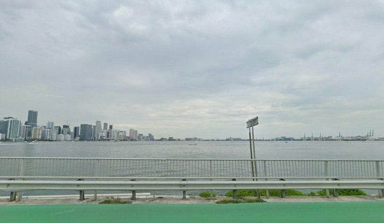
Miami is headed for another hot Thursday afternoon. The high should reach 88, while the heat index could climb to 100 as showers and thunderstorms become more likely from late morning through the afternoon.
Afternoon Storms Could Bring Heavy Downpours
The National Weather Service puts Thursday’s rain chance near 60%, with showers and thunderstorms possible before 2 p.m. and more likely around 2 to 3 p.m. Briefly intense rainfall could drop as much as 2 to 4 inches in some spots, raising the risk of localized flooding in Miami’s urban areas and places with poor drainage.
South winds will run 5 to 12 mph during the day. Storms may also bring lightning, sudden wind shifts and short-lived bursts of heavy rain, so outdoor plans and afternoon commutes could get messy quickly.
Coastal Flooding Statement Runs Through Friday
Minor coastal flooding is possible during high-tide cycles along coastal Miami-Dade, Broward and Palm Beach counties. The National Weather Service says isolated flooding could put water on low-lying roads and property through Friday evening, and advises drivers not to enter flooded roadways.
Thursday night should turn mostly clear after a 40% chance of showers and thunderstorms before 9 p.m., but it will remain warm, with a low near 80. Friday brings another high around 88, a heat index near 100 and stronger southeast winds that could gust to 18 mph.
Wet And Windy Weekend Ahead
Rain chances rise Friday night and remain elevated Saturday, when showers and thunderstorms are likely and the chance of precipitation reaches 70%. Southeast winds of 18 to 22 mph, with gusts up to 25 mph, are forecast Saturday, making beach, boating and outdoor plans more weather-sensitive.
Sunday and Monday look somewhat calmer, with mostly sunny skies, highs near 89 and only a slight chance of afternoon storms. The latest update follows Hoodline’s earlier forecast with a more specific coastal flooding statement and a clearer signal for stronger winds and wetter conditions Friday night into Saturday.



