

























































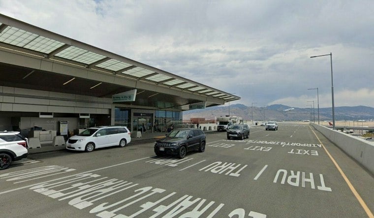
Salt Lake City had overnight rain, with low ceilings and strong southerly winds. Showers and thunderstorms are expected through the day, and a Flood Watch is in effect across the Salt Lake Valley through Monday afternoon.
The National Weather Service forecasts a high near 69°F Sunday, with rain and thunderstorms likely from morning through the afternoon. Widespread rain and strong southerly winds are expected.
Flood Watch Covers Salt Lake Valley
The Flood Watch means excessive runoff could cause flooding in creeks, streams, poor-drainage areas and city streets. Recent burn scars are especially vulnerable, and residents should avoid driving through flooded roadways while staying alert for any Flood Warnings.
Sunday night into early Monday is expected to bring a relative lull. Temperatures dip to around 49°F, while south winds could gust as high as 33 mph, according to the local NWS forecast.
Cooler Midweek, Brighter By Thursday
Monday brings showers, with a high near 63°F and a low around 43°F overnight. Tuesday looks cooler, with showers in the forecast.
Showers may linger into Wednesday, with cooler conditions, but the forecast finally turns sunnier Thursday with a high near 61°F. Warmer, drier weather is expected later in the week.





