

























































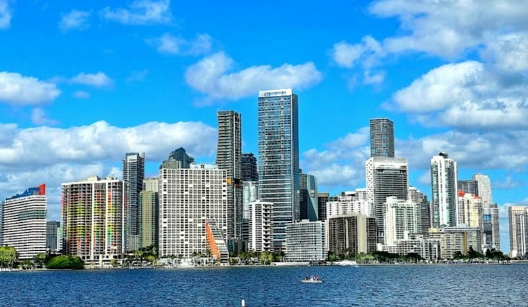
Friday in Miami brings a humid, breezy day, with scattered showers and thunderstorms, a heat index near 104, and a high rip-current risk on Atlantic beaches through Saturday evening.
Storm Chances Build Through Friday
Showers and thunderstorms could pass through early Friday, with additional chances late morning and during the afternoon. The high should reach about 88 degrees as southeast winds run 13 to 18 mph, with gusts up to 22 mph, according to the National Weather Service.
Friday night has a low near 79 and a 30% chance of showers and thunderstorms. Saturday looks much the same: partly sunny, near 88 degrees, with a moderate to fresh east-southeast breeze that may approach 20 knots and a 40% chance of rain.
Beachgoers Face Dangerous Rip Currents
A high rip-current risk remains in effect through Saturday evening for Atlantic beaches in Miami-Dade, Broward and Palm Beach counties. Anyone heading to the shore should swim near a lifeguard, avoid fighting the current if caught in one, and follow posted beach warnings.
The weather service also warns that the strongest downpours could produce brief periods of localized flooding. Sunday brings sunnier skies and only a slight chance of storms, but beach conditions will still deserve attention.
Wetter Pattern Takes Over Next Week
Monday begins mostly sunny before showers and thunderstorms become more likely after 2 p.m. Rain chances rise to 60% Tuesday, 70% Wednesday and 60% Thursday, while daytime highs remain near 88 and heat indexes continue reaching the low to mid-100s.
The expanding midweek rain threat is a substantive update to Thursday's Hoodline forecast, which focused on the immediate storm and beach hazards. For Friday plans, the safest bet is to keep outdoor activities flexible, especially near the coast and during the afternoon.





