

























































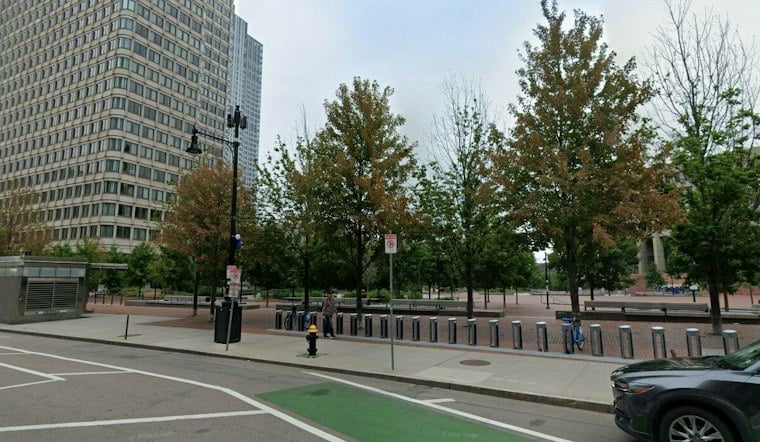
Thirty years ago this week, more than 12 inches of rain fell across the Boston area over two days, and the Muddy River did what engineers had long feared: it overflowed, sending floodwater crashing into the Green Line and shutting down subway service for six days. Kenmore Square's MBTA station ended up with more than six feet of water on its steps, and the flooding paralyzed portions of all four Green Line branches, stranded motorists on Storrow Drive, and ultimately caused an estimated $100 million in damage.
The scale of the disaster is laid out in a Transportation Research Board record from the period, which documented that more than 30 million gallons of water poured into the Green Line and crippled seven subway stations during the storm. The storm caused almost $70 million in damage.
The Head of the Charles Regatta was canceled that year for the first time in 32 years.
Decades of Neglect Finally Catch Up
The river that flooded the Green Line wasn't always buried and constrained. Frederick Law Olmsted designed the Emerald Necklace in the 1880s. The Muddy River restoration project is intended to reduce flooding that threatens adjacent properties and transportation infrastructure.
But that function eroded over decades of neglect. The river was filled in and pipes were installed near the Fens Bridge and Brookline Avenue in the 1940s to make way for roadway widening, according to the Muddy River Restoration Project, and it was filled again in front of the Landmark Center to create a parking lot. Invasive vegetation, sediment, and undersized pipes restrict the river's flow.
A Federal Fix Decades in the Making
The flood triggered a federal overhaul of the Muddy River costing more than $90 million, funded through a mix of federal, state, Boston, and Brookline contributions, per the Muddy River Restoration Project's own accounting. Crews have dredged roughly 90,000 cubic yards of sediment from the riverbed, replaced undersized culverts, removed invasive vegetation, and improved landscaping along the banks. Plans also call for daylighting the river channel buried beneath the parking lot in front of the Landmark Center.
Phase 1 wrapped up in 2017, according to The Scope. What's clearer is Phase 2: it began in 2020 with dredging by the Army Corps of Engineers, tree and plant installations, and a new flood protection wall, and a ribbon-cutting ceremony on Nov. 29, 2023, marked its completion, the outlet reported. Advocates say the next priority is preserving that green infrastructure and keeping the flood protection intact.
From Disaster to Conservancy
The flood didn't just reshape infrastructure — it reshaped institutions. The 1996 disaster is credited with contributing to the creation of the Emerald Necklace Conservancy. The Conservancy is a nonprofit steward of the Emerald Necklace. Karen Mauney-Brodek, the conservancy's president, described the flood as a serious wake-up call.
The conservancy hasn't won every fight. It unsuccessfully opposed Boston Mayor Michelle Wu's plan for a new White Stadium in Franklin Park, the city's largest green space. Even so, advocates still describe the Muddy River as the most polluted stream flowing into the Charles River, underscoring why restoration work continues decades after the flood that started it. The next major piece is the Charlesgate Park Improvement Project, expected to cost $180 million and finish in winter 2029.
Boston's Place in a National Movement
Boston's daylighting push fits into a broader national trend of cities uncovering buried waterways to fight flooding and restore ecosystems, according to Smithsonian magazine, which lists Boston alongside Providence, New York, Berkeley, Dubuque, Norfolk, Detroit, St. Louis, and Charlotte as cities that have completed or are pursuing similar projects. Concrete culverts and other coverings get removed in these efforts, with the goal of restoring natural flow and the surrounding ecosystem, per Smithsonian's reporting. Springfield, Missouri, is pursuing a $25 million plan to uncover 1,100 feet of Jordan Creek, while New York's Tibbetts Brook daylighting is estimated to cost $133 million per mile once real-estate acquisition is factored in — a project made more urgent after rain from the remnants of Hurricane Ida overwhelmed the city's stormwater system in 2021.
Today, according to Universal Hub, the T still keeps sandbags on hand in case the Muddy River overflows again — a quiet reminder that even after three decades of dredging, daylighting, and culvert replacement, the lesson of 1996 hasn't fully faded from memory.





