

























































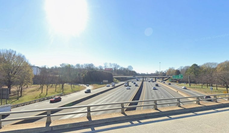
Charlotte is starting Veterans Day with clear skies and a mild warmup, heading toward a sunny high near 73 degrees Wednesday. The morning begins in the mid-40s, but temperatures should climb quickly through the afternoon with only a slight chance of rain. It is about as friendly as November weather gets before a colder pattern moves in.
Sunny Veterans Day Before Winds Arrive
Wednesday night will stay mostly clear, with temperatures dipping to around 52 degrees. Winds will shift southwest at 5 to 9 mph, keeping the evening comfortable for outdoor plans across the Charlotte area.
Thursday remains sunny, with a high near 70, but the wind will become the bigger story. West-northwest winds of 10 to 17 mph could gust up to 32 mph, and a cold front is expected to cross the region. The latest National Weather Service forecast calls for partly sunny skies through midmorning before sunshine returns.
Colder Air Takes Over By The Weekend
Friday brings sunshine and a cooler high near 58, according to the latest National Weather Service forecast. Overnight temperatures will drop to around 35 degrees, setting up a chilly start to Saturday.
Saturday should stay sunny with a high near 54, while Saturday night could fall to around 32 degrees. Sunday will rebound slightly under sunny skies, reaching about 56, and the mostly sunny, cool pattern is expected to continue into early next week, with highs in the mid-50s. The National Weather Service’s updated Charlotte forecast gives the latest outlook.
How the Weekend Low Compares With Typical Freeze Timing
The cold snap is part of a broader pattern change, with a strong trough over the eastern United States helping drive colder air south behind the front. The National Weather Service’s regional discussion says snow is possible mainly in the highest elevations along the North Carolina-Tennessee border, while drier air is expected east of the mountains. That terrain difference helps explain why mountain snow is in the outlook while Charlotte’s forecast stays dry.
Charlotte’s usual window for its first autumn freeze is Nov. 1 to 10; the forecast low Saturday night is near 32 degrees. WCNC reports that the area’s average first freeze is Nov. 8, with a broader window from Nov. 1 to 10. That climate average is context, not a prediction that this weekend will bring the season’s first freeze.
There is also a seasonal wrinkle to freeze alerts: the NWS Greenville-Spartanburg office says its growing season is considered over after Nov. 11, so it will not issue freeze products for its forecast area after that date. The office notes that the coldest night in this forecast period could be Saturday night, with lows in the low 30s and 20s across the Piedmont and mountains. That seasonal cutoff is a change in alert practice, not a sign that freezing temperatures are no longer possible.
Rain chances remain very low in Charlotte through the forecast period. The National Weather Service’s latest regional discussion says snow is possible from Thursday morning into early Saturday across the highest elevations along the North Carolina-Tennessee border, not in the city; it also lists no watches, warnings or advisories for North Carolina. The discussion notes that snowfall potential has increased slightly in those mountain areas.



