

























































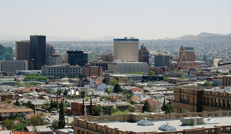
El Paso is waking up to clear skies and a mild 49 degrees Wednesday, with sunshine pushing the city toward a high near 70. The catch is a west wind that picks up this afternoon, making the warmest stretch feel breezier than the thermometer suggests. By evening, temperatures fall into the 60s under mostly clear skies.
Afternoon Winds Arrive With Dry Air
Winds are expected to shift toward the west and run about 10 to 15 mph this afternoon, with gusts potentially near 20 mph. Rain is not in the forecast for Wednesday or Thursday, and the latest National Weather Service forecast shows no watches, warnings or advisories for the El Paso area. Humidity remains low, but fire concerns are expected to stay low because winds and dryness are not expected to reach critical levels.
Cooler Weekend Brings A Small Shower Chance
Thursday stays sunny with a high near 69, while Friday reaches about 73. The forecast turns more interesting late Friday, with a slight chance of showers Friday night; Saturday also carries a slight chance of showers, with mostly sunny skies and a high near 67.
The weekend update is a cooler, more specific turn from Hoodline’s earlier forecast, which had already flagged the possibility of showers Friday night and Saturday. Saturday night could also bring breezy east/northeast winds, so outdoor plans may get a brief sprinkle and a bit of wind before conditions settle.
Sunny Stretch Returns Sunday
Sunday looks sunny, with a high near 68. Monday should be sunny near 71.
For commuters and anyone planning an afternoon outside, the best window for warm weather is midday to early afternoon before the breeze peaks and temperatures start sliding. A light jacket will be useful after sunset, when the low settles near 48 Wednesday night and near 50 Thursday night.




