

























































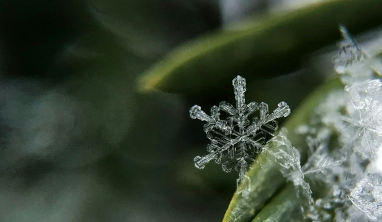
Colorado Springs is waking up clear and cold Saturday, with temperatures near 30 degrees at the latest airport observation. The city should warm to about 43 before a round of snow showers becomes possible after noon, making for a classic Front Range bait-and-switch. No watches, warnings or advisories are posted for the area.
Saturday Snow Showers Should Be Brief
Snow showers are possible Saturday afternoon. Any snow in the city is expected to be spotty and light, with little to no travel impact because the ground remains relatively warm. Mountain areas and higher terrain around the Palmer Divide could see more noticeable bursts.
The updated timing sharpens the weekend outlook from Hoodline’s earlier forecast, which also pointed to a colder Saturday. The National Weather Service expects skies to clear Saturday night as temperatures fall to around 21 degrees.
Sunny Sunday Leads Into A Gradual Warmup
Sunday looks sunny but chilly, with a high near 43 and a low around 23 overnight. Monday reaches about 47 under partly sunny skies, though a slight chance of snow showers returns after 5 p.m. and could linger into Monday night.
Tuesday should be sunny with a high near 46, followed by a mostly sunny Wednesday near 52. Thanksgiving Day is forecast to reach 42 to 47 degrees, and Friday could climb to 55, but overnight lows will remain firmly wintry, mostly in the 20s.




