

























































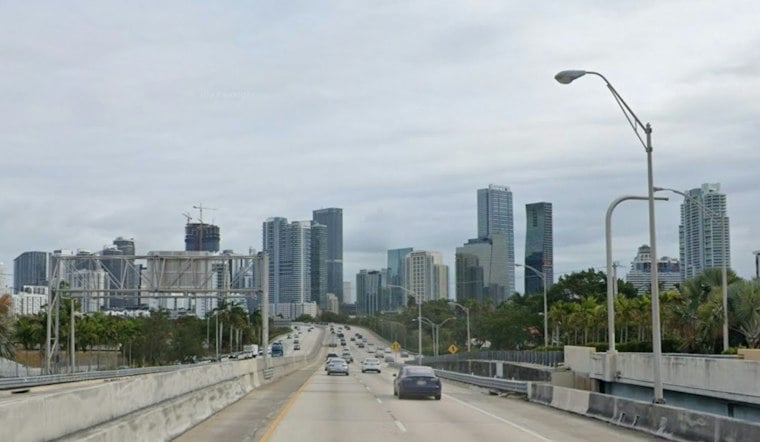
A wet, windy start to November brought a risk of heavy rain and flooding to South Florida on Sunday and Monday. The National Weather Service forecast repeated downpours that could bring 3 to 5 inches of rain across parts of the region, with isolated totals of 5 to 7 inches; where the heaviest bands would set up remained uncertain. A Flood Watch covered Miami-Dade, Broward and Palm Beach counties through Monday afternoon, according to National Weather Service Miami.
The heaviest showers and thunderstorms could cause street and urban flooding, particularly in low-lying areas. The rainfall bull’s-eye was not certain, so the forecast did not establish which neighborhoods would receive the highest totals. The same NWS alert cited a High Surf Advisory for Broward and Palm Beach counties through Sunday evening and a high risk of rip currents along Atlantic beaches.
A longer-term stormwater challenge
Miami Beach planning documents describe infrastructure concerns that provide context for the flooding risk, but do not establish what will happen during this storm. A June 2012 city stormwater master-plan presentation listed tidal constraints and backflow among the city’s stormwater issues, according to the City of Miami Beach.
More than a decade later, the city said its updated stormwater model indicated that mitigating a 10-year, 24-hour storm across Miami Beach would require 83 new pump stations and about 104 miles of large stormwater pipes. That estimate, published in a March 21, 2024 city update, describes a citywide infrastructure need; it is not a projection of rainfall or flooding from the current system.
With the rain bands’ location uncertain, the regional watch remains the immediate guide to the threat. The city’s planning documents add background on Miami Beach’s stormwater constraints, but neither they nor the rainfall forecast identify exactly where flooding will occur.





