

























































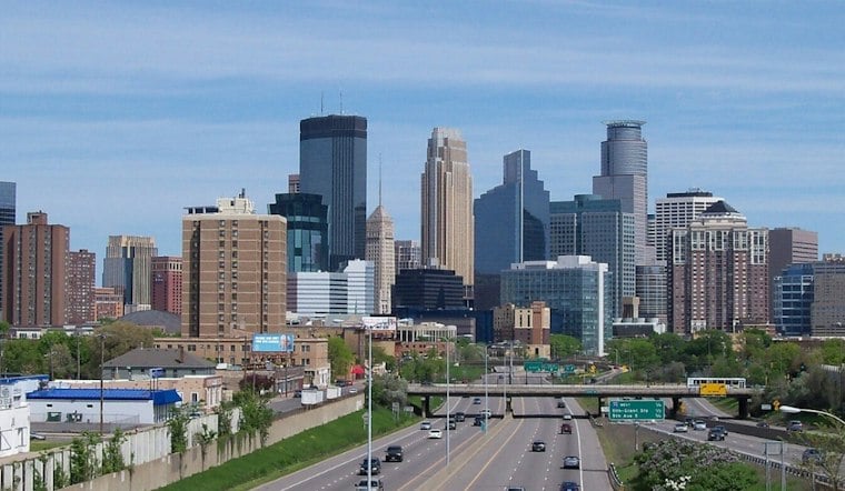
Sunny skies are expected over Minneapolis Monday, with an afternoon high of 54°F, according to the National Weather Service forecast. Southerly flow will be gusty.
The warm spell is not a one-day fluke. Monday night turns partly cloudy with a low of 42°F, followed by a partly sunny Tuesday, according to the National Weather Service forecast. Wednesday is forecast to be mostly sunny.
The Warmup Gets Windier Tuesday And Wednesday
Tuesday gusts may reach around 23 mph, while Wednesday gusts may reach around 30 mph. The combination of mild temperatures and a steady breeze should make outdoor plans manageable, though loose leaves and lightweight decorations may have other ideas.
A ridge of high pressure and southerly flow are helping drive the midweek warmth, while daytime mixing is contributing to gusty winds. The National Weather Service expects highs in the 50s through much of the week, with cooler temperatures returning next week and dry conditions favored until precipitation arrives late this week, as outlined in its Twin Cities forecast discussion.
Thursday stays sunny, with a high near 54. No meaningful precipitation is expected through most of the first half of the week.
How unusual is the midweek warmth?
For perspective, the Minnesota DNR’s 1991-2020 climate calendar gives the Twin Cities a Nov. 16 average high of 42°F and average low of 28°F. The forecast high near 54°F is above that daily average high.
The same DNR calendar lists 68°F in 1953 as the highest maximum temperature for Nov. 16 in its record table—a historical contrast, not a prediction for this weekend.
Rain Arrives Late Friday And Saturday
Dry weather is expected through Thursday. Friday brings a chance of rain, with highs in the upper 50s.
Rain is possible Friday night, with an 80% chance. Rain is possible Saturday, with a 70% chance. Colder air is expected to arrive late Saturday into Sunday.
Sunday Brings A Colder Reset
The cold turn comes as Minnesota and Wisconsin mark Winter Hazard Awareness Week, Nov. 16-20. The National Weather Service and state emergency-management agencies are using the week to highlight seasonal safety, with topics ranging from winter storms and outdoor hazards to home fire safety, indoor air quality and winter driving. Friday’s focus is winter driving, a timely reminder as the forecast calls for rain and falling temperatures before the weekend chill, the Twin Cities weather office’s awareness-week schedule shows.
The cold turn comes as Minnesota and Wisconsin mark Winter Hazard Awareness Week, Nov. 16-20. The National Weather Service and state emergency-management agencies are using the week to highlight seasonal safety, with topics ranging from winter storms and outdoor hazards to home fire safety, indoor air quality and winter driving. Friday’s focus is winter driving, a timely reminder as the forecast calls for rain and falling temperatures before the weekend chill, the Twin Cities weather office’s awareness-week schedule shows. Sunday is forecast to be cooler, with highs near 48 to 50°F. Check the active watches, warnings and advisories before making outdoor plans. Weekend errands and outdoor plans may require adjusting to the sharp contrast with the milder middle of the week.



