

























































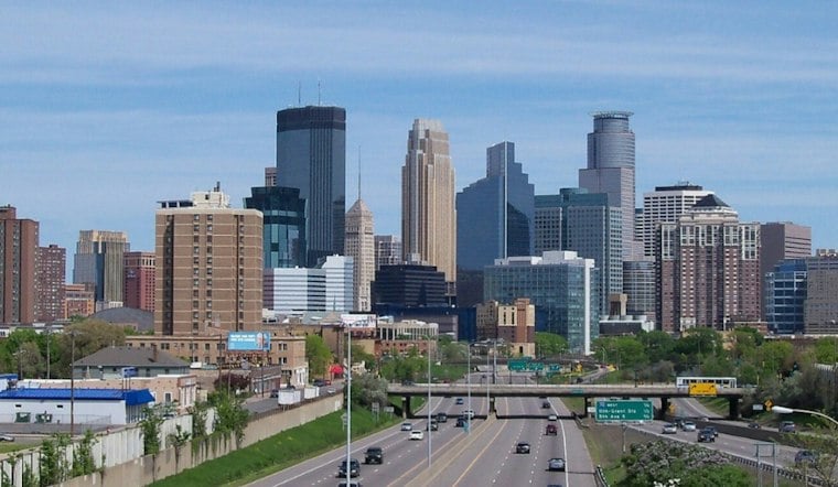
Minneapolis starts Saturday beneath gray skies, with temperatures near 60 degrees. Rain chances are expected to increase after sunrise, with temperatures falling across the region through the day.
Rain Tracks Through Saturday
Showers may occur Saturday morning, with another band possible later in the evening.
A chance of rain and snow is forecast Saturday night. The low is expected to be about 33 degrees, with west-northwest gusts up to 25 mph.
Sun Returns, Winterlike Cold Follows
Sunday has a VFR outlook.
A low is expected Monday night.
Midweek Outlook
How the forecast fits the climate record
The National Weather Service Twin Cities office puts the normal first-freeze window between October 1 and 10. That provides seasonal context for a below-freezing overnight forecast, but does not show that this particular cold snap is unusual. For broader context, NOAA's 2025 State Climate Summaries reports that Minnesota's annual average temperatures have increased more than 3°F since the beginning of the 20th century. That statewide annual trend is not a November-specific measure and does not explain this forecast.
For a holiday comparison, the Minnesota DNR gives the Twin Cities' normal Thanksgiving Day high as 38°F, based on 1991-2020 averages. The forecast high near 39 is close to that average; it is a comparison, not a prediction based on past holidays.
No watches, warnings or advisories are listed for Minneapolis. Saturday plans call for rain gear; those heading out early next week should be prepared for below-freezing temperatures.




