

























































Salt Lake City is getting the kind of Veterans Day that makes winter feel like a rumor: clear skies, a high near 60, and no rain on the schedule. But the sunny reset is temporary, with rain arriving Friday night and a much wetter, cooler Saturday on tap.
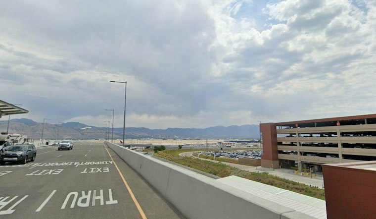
Early Wednesday at Salt Lake City International Airport, skies were clear and temperatures were around 37 degrees.
Sunny Stretch Holds Through Thursday
Thursday should stay sunny and mild, with a high near 60. The National Weather Service says high pressure will keep the valley dry through Thursday, though the setup can also allow morning haze or inversions to linger.
Rain Arrives Friday Night
Friday starts mostly sunny and warms to about 63, but a slight chance of rain develops after 11 p.m. Friday night.
Saturday Looks Wet And Stormy
Saturday is the weekend's rough patch: rain is likely before 11 a.m., followed by showers and thunderstorms between 11 a.m. and 5 p.m., then more rain possible. Temperatures may reach 56, and the broader forecast calls for 4 to 8 inches of snow in the mountains, so canyon plans could get messy even if downtown stays merely soggy.
Sunday should bring a partial rebound with partly sunny skies and a high near 53, but the break may be brief. A slight chance of rain returns Monday evening, followed by rain Monday night and Tuesday, extending the unsettled pattern beyond the weekend; Hoodline's previous update had already flagged the weekend shift but did not carry the same confidence into early next week.




