

























































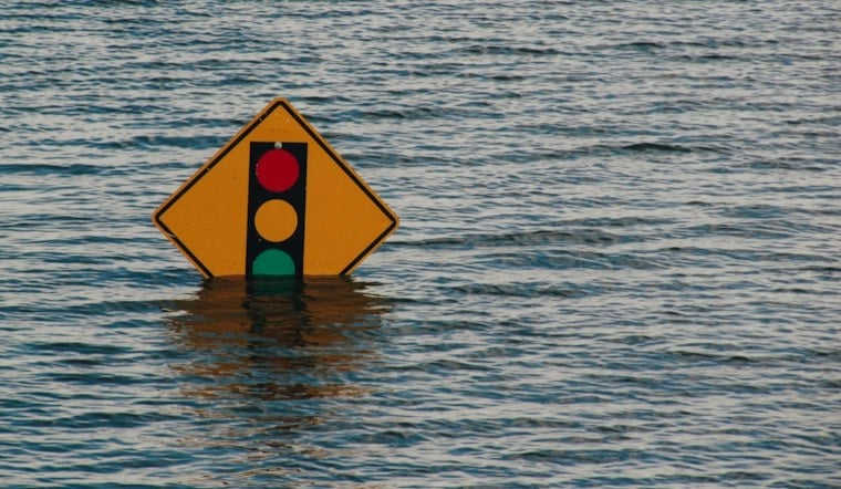
San Francisco County is under a coastal flood advisory that runs until 1 p.m. Monday, with forecasters warning that high tides could swamp low-lying streets near the shoreline even as the rest of the Bay Area warms up and dries out. The National Weather Service updated the advisory Wednesday evening, and it covers the period through the start of next week.
The advisory took effect Wednesday at 5:48 p.m. and remains active until 1 p.m. Monday, according to the Mercury News. Forecasters said up to 1.6 feet of inundation above ground level was possible in low-lying areas near shorelines and tidal waterways, and the National Weather Service forecast office also put the figure at up to 1.6 feet.
The highest tide of the advisory period is expected at the San Francisco tidal gauge Saturday morning, with the water forecast to crest at 1.6 feet above normal, or 7.4 feet MLLW, at 9:38 a.m., per the same Mercury News report. The National Weather Service cautioned that the elevated tides could flood low-lying infrastructure, trigger isolated road closures and accelerate coastal erosion along the shoreline.
A Warming, Drier Stretch Settles In
Even as the coastal flood risk lingers, the broader weather picture is shifting toward sunnier and milder conditions. National Weather Service meteorologist Rachel Kennedy said high pressure building into the region would bring a warming trend, telling Sonoma News, “The high pressure comes next.” High temperatures were expected to climb into the 70s for parts of the region by Thursday and most of the Bay Area by Friday.
Kennedy said that once Wednesday arrived, the coast and the rest of the region would turn mostly clear aside from some clouds, likely holding through early next week. She added that conditions over the southern Pacific could spawn a long-wave low-pressure trough capable of bringing precipitation down from the north sometime next week, though its timing and location remained uncertain.
Rough Surf Preceded the Calm
The warm-up follows a stretch of hazardous beach conditions along the coast. A beach hazards statement covering the San Francisco Bay Area and Central Coast remained in effect through 8 p.m. Tuesday, with the National Weather Service warning of increased sneaker-wave and strong rip-current risks, according to USA Today. The affected stretches included the San Francisco Peninsula Coast as well as Northern and Southern Monterey Bay.
The sonomanews.com report similarly noted that the beach hazards statement for sneaker waves and strong rip currents was set to expire at 8 p.m. Tuesday, with rough water expected to calm by Tuesday night into Wednesday as the warmer pattern took hold.



