

























































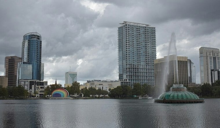
Orlando is starting Tuesday cloudy, warm and breezy, with temperatures in the low 70s and east-northeast winds already pushing toward 25 mph. Showers and thunderstorms are likely through the day, with a high near 83 and the steamiest stretch arriving around midday and early afternoon.
The National Weather Service expects a 50% chance of rain across the Orlando area, although showers should come in waves rather than as one continuous washout. Parts of Central Florida continue dealing with saturated ground and ongoing flooding.
That makes flooded roads a particularly bad place to test the limits of a sedan. Drivers should avoid water-covered streets and never walk or drive through floodwater, especially in low-lying neighborhoods where drainage remains slow.
Storm Chances Ease After Tuesday
Rain chances drop Tuesday night, with only a slight chance of showers before 7 p.m. Wednesday brings another hot afternoon, topping out near 83 degrees with a 50% chance of showers and thunderstorms, mainly later in the day.
The outlook turns noticeably calmer Thursday, when Orlando should see sunny skies, a high near 85 and minimal rain chances. Friday and Saturday stay mostly sunny and warm, with highs in the low to mid-80s and overnight temperatures gradually slipping into the 60s.
Beach Trip? Think Twice
Anyone heading east from Orlando should know that the coast remains the more dangerous side of this weather pattern. The National Weather Service forecast 5–7-foot breakers and life-threatening rip currents along Central Florida beaches for Monday, November 2, and the High Surf Advisory continued until early Monday evening, while small craft advisories remain in effect offshore.
This updated forecast follows Hoodline's earlier flood coverage, with the region now shifting from the worst of the rain toward a drier end to the week. A more significant cold front could arrive around Monday, bringing a chance of cooler weather early next week.




