

























































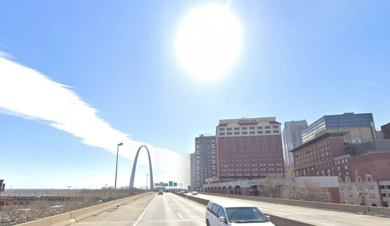
St. Louis could see patchy fog Monday morning after overnight lows around 40, but the city is headed for a quick warmup. Patchy fog should lift by 9 a.m., with sunshine pushing the high near 69.
Monday stays dry and mostly sunny after the fog clears, with light southwest winds between 1 and 5 mph. The National Weather Service expects temperatures to fall back to about 46 Monday night, while low-lying river areas could see another round of fog Tuesday morning.
Tuesday Keeps The Fall Fake-Out Going
Tuesday looks like the warmest day of the short stretch, with mostly sunny skies and a high near 70. The night should remain mostly clear, with temperatures dipping to around 48 and little wind to spoil outdoor plans.
Veterans Day Brings Showers And A Few Storms
The weather turns more active Wednesday, Veterans Day, with a 40% to 60% chance of showers after noon and a thunderstorm or two possible. Temperatures should slide from a high near 68 into the lower 60s during the afternoon.
Winds may also become noticeably gustier as the front moves through, with occasional gusts near 30 mph possible. That is a sharper midweek turn than the earlier Hoodline forecast, which showed a lower rain chance and a milder second half of the week.
Cooler Weather Arrives Later In The Week
Thursday brings mostly sunny skies and a high in the 40s to low 50s. Friday appears to be the coldest day, topping out near 46 under mostly sunny skies, while overnight lows are expected to range from the mid-20s to mid-30s, with Friday night potentially reaching the 20s if skies clear.
The weekend begins a gradual rebound, with sunny skies and a high near 52 Saturday before temperatures climb to around 60 Sunday. No watches, warnings or advisories are in effect for the St. Louis area, but Wednesday's rain and wind will mark the clear break from the warm spell.





