

























































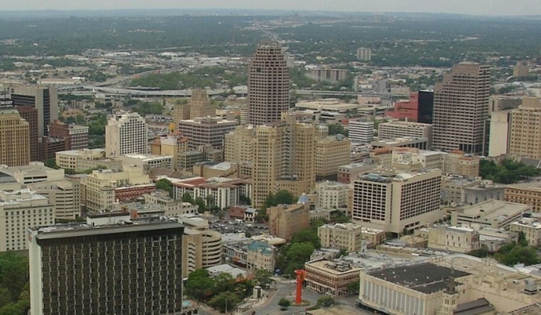
San Antonio is waking to light rain and a fast-moving weather reset Tuesday, with showers and thunderstorms clearing by late morning before sunshine takes over. The city should top out near 77 degrees, then slip to around 55 Tuesday night as drier air settles in.
Storms Exit Before The Lunch Hour
The National Weather Service says showers and thunderstorms are likely early Tuesday, with the main activity expected to push away from the I-35 corridor by late morning. A few stronger storms remain possible north and west of San Antonio, where damaging winds and large hail are the main concerns, but no watches, warnings or advisories are listed for the city.
Once the rain clears, skies should brighten quickly, with temperatures rising through the 70s and the afternoon turning mostly sunny. Roads could remain slick during the morning commute, especially while showers linger, so leave a little extra braking room before the pavement dries out.
Cooler Nights, Sunny Midweek
Tuesday night looks mostly clear with a low near 57, followed by a sunny Wednesday with highs in the low to mid-70s. Thursday’s high should be in the 70s, while Friday remains mostly sunny near 77.
This is a sharper turn than the muggy setup outlined in Hoodline’s Monday forecast: the storms have arrived, and the outlook now points to a noticeably drier stretch through midweek. A possible weekend front could leave highs struggling to reach the 70s, with a slight chance of showers Sunday under partly cloudy skies.



