

























































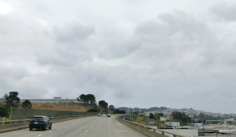
San Francisco is starting Sunday under cloudy skies, with a chance of light rain after 1 p.m. and a high near 56. The bigger story is the rough weather lineup ahead. Showers should dry out by evening.
Monday looks like a brief reset, with partly sunny skies and a high near 59. Then rain returns Tuesday, with gusty winds developing as the storm moves in. The National Weather Service has issued a coastal hazard message.
Tuesday And Wednesday Bring The Messiest Weather
Tuesday night could bring showers and thunderstorms, while Wednesday is expected to stay wet with a high near 64. Winds may gust into the 20s, with stronger conditions possible along exposed coastal areas and through favored gaps.
The latest forecast adds sharper timing to the storm and coastal hazards outlined in Hoodline's Saturday report. High surf is also a concern at Pacific beaches.
Coastal Flooding Will Peak Around Thanksgiving
A Coastal Flood Advisory remains in effect through early Monday, followed by a Coastal Flood Warning from Monday morning through Thursday afternoon for San Francisco and San Pablo Bay shorelines. Up to 2.8 feet of inundation is possible in low-lying areas near shorelines and tidal waterways, with the highest forecast tide expected Wednesday morning.
The warning could mean flooded roads, shoreline infrastructure impacts, erosion, and water reaching farther up beaches than usual. People visiting the coast should avoid flooded areas, stay away from breaking waves and rip currents, and never drive around barricades or through water of unknown depth.
Thanksgiving Looks Drier Before Another Wet Weekend
Thanksgiving Day should be partly sunny with a high near 63 and little chance of rain, followed by a mostly cloudy Friday near 62. Rain may return Friday night and continue into Saturday, keeping the Bay Area's holiday weekend unsettled even after the midweek storm passes.



