

























































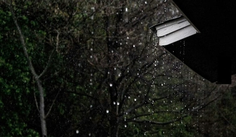
Rain was ongoing at FMY Wednesday, with a wetter and stormier stretch taking shape through the afternoon. The city could see a high near 78 degrees before showers and thunderstorms continue into Wednesday night.
Rain Builds Through Wednesday Afternoon
The latest National Weather Service forecast calls for a 70% chance of rain Wednesday, with showers becoming more likely after 1 p.m. East winds around 15 mph could produce gusts around 25–30 mph, while rainfall totals may reach a quarter to half an inch.
Heavier downpours could briefly overwhelm poor-drainage areas, particularly where showers linger. Wednesday night stays unsettled, with a 30% chance of precipitation, partly cloudy skies and a low near 68 degrees.
The updated timing gives Fort Myers a sharper midweek soaking than the Tuesday Hoodline forecast, which described a broader wet and windy pattern through Friday.
Warmer, Brighter Weather Arrives This Weekend
Thursday should bring a high near 82 degrees with damp, cloudy conditions and a 30% chance of showers. Friday remains warm near 82, with damp, cloudy conditions.
Saturday and Sunday look increasingly favorable for outdoor plans, with mostly sunny skies, highs around 81 and rain chances near 20% or lower. The forecast turns even quieter Monday and Tuesday, when highs should remain near 80.
Boaters Face Rough Conditions
Small Craft Advisories remain in effect for Charlotte Harbor, Pine Island Sound and nearby Gulf waters as breezy east to northeast winds create choppy conditions. The weather service advises small craft to remain in port until conditions improve, with marine conditions expected to ease over the weekend.





