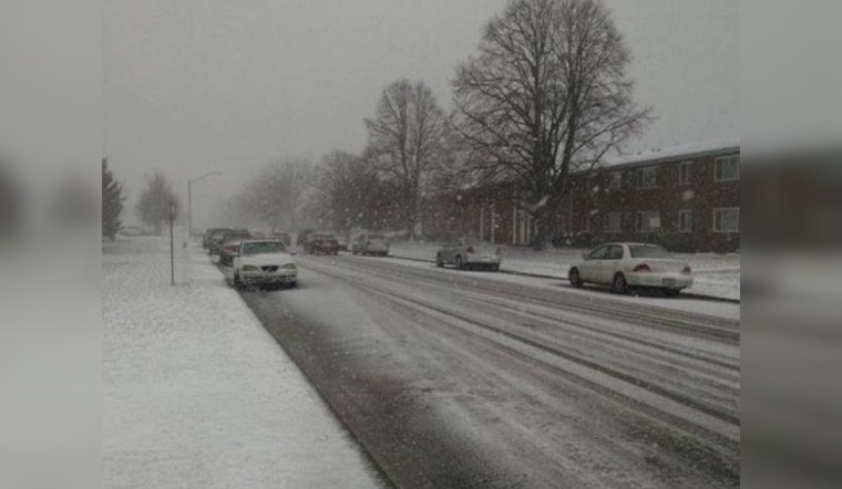
Chicago braces for an icy grasp as residents prepare for the season's first significant snowstorm set to blanket the region with a thick layer of snow through Tuesday night. The NBC 5 Storm Team forecasts the snow to pile up as Monday's calm gives way to a cascade of flakes, starting after dark and continuing into the following day.
With the clouds ready to unburden their load, the National Weather Service has issued a weather advisory covering a vast stretch of the Chicago area, commencing at 8:00 p.m. Monday. Issued to the public by the glassy-eyed but determined forecasters at their early morning shift, the advisory warns of elevated snow risks and hazardous travel conditions, stressing vigilance against the unforeseen turns of weather.
Tuesday's tumult will likely usher in several inches of heavy, wet snow, notably gripping the northwest Illinois region with a stricter clench, per the meteorological watch stationed at the National Weather Service. This snowfall is expected to transform into rain in areas south and southeast of Interstate 55 as the day progresses, only to return to its snowier disposition by the evening.
Navigating through a thickening veil of snow, commuters are cautioned of the slick hazardous roads that await them Tuesday evening. Snow accumulations by Wednesday morning "is expected to see between 2-5 inches of snow," as the NBC 5 Storm Team reports, with northern locales possibly capturing over 6 inches.
With the city still reeling, a secondary snow-laden system is poised to sweep through by the week's end, promising to compound the frozen challenges with further accumulations and gusty conditions. Chicago's normally bustling streets face an onslaught of nature's winter arsenal as Marine warnings indicate potential gale-force winds and perilous waves for Lake Michigan's nearshore maneuvers.


