The San Francisco Bay Area is bracing for a significant storm system, expected to hit the region hard with heavy rain and strong winds starting Sunday afternoon and persisting into early next week. The National Weather Service Bay Area has forecasted that System 2, which is anticipated to be the stronger of two weather systems, will bring periods of heavy rain, gusty winds, and a few strong storms, with potential impacts to linger until Tuesday or Wednesday.
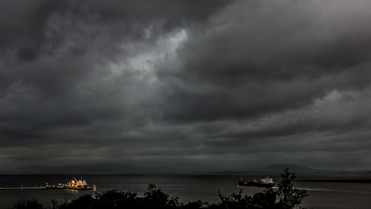
System 1 is the weaker of two weather systems and will move through today. Periods of moderate rain and gusty winds are expected with only minor flooding potential. However it will prime things for the (stronger) System 2 arriving tomorrow... (1/2) pic.twitter.com/2eA93pcrxo
— NWS Bay Area 🌉 (@NWSBayArea) February 17, 2024
Forecasts from the National Weather Service Bay Area indicate the possibility of minor flooding as the first system moves through the area, priming the ground for System 2's arrival, this second system being accompanied by heavier rainfall and more severe weather conditions that may lead to enhanced flooding risks and the need for heightened weather awareness among residents and travelers in the affected areas. The NWS has urged residents to stay updated with the latest forecasts as the situation evolves.
According to the Area Forecast Discussion by the National Weather Service San Francisco CA, the region will start Sunday morning with a temporary break in the weather due to a high pressure ridge; however, a mature system will soon move into position off the coast, pumping in tropical moisture and likely leading to two periods of the most impactful weather late Sunday into Wednesday. Forecasted rain totals range from 1-2 inches in the valleys to 4-6 inches in the coastal mountains by the time the systems pass.
Wind advisories are in effect with strong to near gale force southerly winds expected to accompany System 2's arrival, with the largest update to the forecast being the increased expected winds on Monday afternoon, that are now anticipated to be at least as strong as Sunday's. The expected stormy conditions also include concerns for marine safety, with the NWS Marine report predicting hazardous conditions for small to medium-sized vessels, and as well as a High Surf Advisory due to large breaking waves along west-facing beaches raising risks for beachgoers and mariners alike.
Furthermore, the NWS Hydrology report has a flood watch in effect from Sunday through to Wednesday morning, highlighting the potential for flooding in urban areas and along smaller creeks and streams. The water-logged grounds from previous storms heighten the risk of shallow landslides and localized ponding, underlining the importance of following warnings and advisories as the storm progresses.


