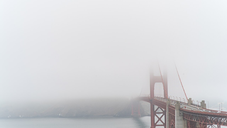
San Francisco Bay area travelers faced a foggy start this morning as dense fog caused visibility issues in the Gilroy and Hollister areas, the National Weather Service Bay Area warned via X post. Due to the sudden visibility changes, drivers on portions of US101 and CA25 were advised to exercise caution, slow down, and allocate extra travel time.
Traveling this morning? Watch out for sudden visibility changes in the Gilroy and Hollister areas due to localized dense fog. This will affect portions of US101 and CA25. Slow down & allow extra travel time in these areas. #cawx pic.twitter.com/Y3eyLkWzrA
— NWS Bay Area 🌉 (@NWSBayArea) May 13, 2024
The National Weather Service's Area Forecast Discussion highlighted, "A weak upper low will drift towards the central CA coast while upstream ridging dominates the northeast Pacific." This weather activity is responsible for a deepened marine layer that led to the morning's foggy conditions. The marine layer, now up to around 2,000 feet, could also cause "a little coastal drizzle early this morning in the favorable spots," according to the forecast. Any drizzle, however, was expected to be minor.
As this pattern persists, travelers can expect some relief. The forecast anticipates skies to "clear back towards the coast this afternoon" though coastal and bayside temperatures will remain in the 60s. Inland temperatures are warmer, soaring into the 70s and 80s, while southern Monterey County might even flirt with 90 degrees. Residents and visitors alike should brace for a return of the clouds this evening, as conditions are predicted to be mostly cloudy across many areas, with lows dipping into the upper 40s.
The long-term outlook suggests a slight temperature downturn as onshore flow and weak troughing aloft remain in place. Despite a building ridge over the northeast Pacific by mid-week, "our area will remain along its periphery with no strong signal for a warming trend," the forecast continued, predicting a range of high temperatures from the 60s along the coast to the lower-mid 80s for the warmest inland areas. Furthermore, the marine layer will likely result in coastal clouds during the overnight and morning hours, gradually clearing towards the coast each afternoon.
For those with maritime interests, the weather service advises a Small Craft Advisory, which will be in effect this afternoon into the evening for Monterey Bay and nearby coastal waters due to "fresh northwesterly breezes." Significant wave heights are expected to build to 12–15 feet by Tuesday before receding later in the week. Mariners in the region should stay informed and exercise caution while navigating these conditions.


.jpg)