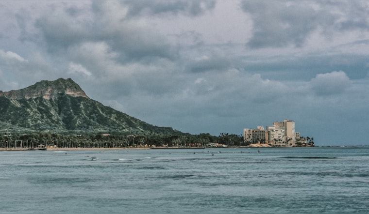
As the Fourth of July holiday weekend unfurls its sunny banner across the skies of Hawaii, the National Weather Service (NWS) in Honolulu maintains a watchful gaze, predicting moderate trade winds through the first half of next week. In a release by the NWS, it's highlighted that these conditions are due to "a broad high pressure ridge north of the Hawaiian Islands." Satellite imagery has identified an unsettled batch of clouds meandering through the western islands but forecasts suggest that the cloud movement should stabilize, limiting showers mostly to windward and mountain areas this afternoon into early next week.
The trade winds are expected to gently carry more clouds over the Big Island and Maui, although these are anticipated to be more stable compared to their western counterparts. An upper-level ridge is to settle in, which the NWS says will produce "strong and stable subsidence today through Monday," a meteorological event that's predicted to reduce the height to which clouds can develop, subsequently decreasing the likelihood of showers. However, a slight increase in showers may occur come Monday and Tuesday as this ridge shifts northward, somewhat opening the door for an increase in shower trends over windward and mountain regions.
In terms of the island's marine forecast, it appears that water enthusiasts may encounter relatively tranquill waters in the coming days. According to the NWS, "No significant swells are expected from any direction for the remainder of the week." This is attributed to several small, medium-period south southeast swells that are projected to keep the south-facing shores from going flat. Furthermore, NWS indicates that a "small fetch of strong northeast winds off the U.S. Pacific Northwest coast" will generate a very small northeast swell anticipated to arrive over the holiday weekend.
High water levels are also part of the NWS forecast for this period, particularly around the Big Island where tide levels are to exceed 3 feet above Mean Lower Low Water. This condition is set to persist through the weekend, prompting the continued issuance of a Coastal Flood Statement for Big Island's shores. Residents and visitors are urged to exercise caution as "Minor coastal flooding issues" have already been observed over the past afternoons. A Small Craft Advisory is also in place until 6 PM HST this evening for select water regions including Maalaea Bay, Pailolo Channel, and Alenuihaha Channel, an advisory keenly shared by the website NWS Honolulu.


