The National Weather Service in Indianapolis reports a change in the local weather pattern with an outlook that includes the possibility of thunderstorms through the beginning of the week. According to the National Weather Service forecast, there's a 70% chance of precipitation today, with potential showers and thunderstorms before 11 am, likely rainfall and a possible thunderstorm between 11 am and 2 pm, followed by a chance of more storms after 2 pm. The high is expected to be around 78 degrees, with calm winds turning west in the afternoon.
Heading into the night, the likelihood of showers and thunderstorms remains, primarily before 1 am, with mostly cloudy skies and temperatures dropping to around 65 degrees. Despite the winds shifting west southwest at around 6 mph, thunderstorms have the potential to bring additional rainfall between a tenth and quarter of an inch—and even higher in some cases.
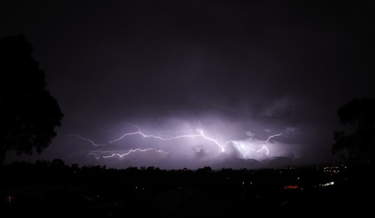
Tomorrow's forecast indicates a 30 percent chance of thunderstorms after 2 pm, suggesting that the beginning of the workweek might not escape the wet trend, with skies staying mostly cloudy and a high near 75 degrees. "Thunderstorms are possible today and tonight," the NWS states. "Severe weather is not expected at this time but any storm can produce gusty winds, brief heavy rain and lightning."
The rain is predicted to continue with Tuesday showing an 80% chance of precipitation, featuring showers and possibly a thunderstorm mainly before 2 pm. After the rain, conditions ease slightly with partly sunny skies by Wednesday and a high hovering around 75 degrees. While not expected, any storm during the period could bring with it the rumble of thunder, highlighted by gusty winds and the flash of lightning.


