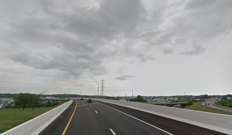
Due to heavy rainfall from Tropical Cyclone Helene, flooding is anticipated in rivers, creeks, streams, and other low-lying, flood-prone areas. The National Weather Service in Nashville has issued a Flood Watch for Middle Tennessee. Current weather conditions in Nashville include a heavy downpour, with temperatures at a humid 68°F, 90% humidity, and visibility reduced to 2.5 miles.
Overnight scenarios included showers and a possible thunderstorm, some with potential to unleash more heavy rains, as the low hovered around 66°F with a north northwest wind travelling at around 10 mph, gusting at times up to 20 mph. The chance of precipitation has been pegged at 100%, with rainfall amounts between a quarter and half of an inch possible. Throughout the day, the city is expecting to see similarly grim weather, looking to reach a high of 72°F, but also to possibly contend with more thunderstorms.
A Flood Advisory was also issued, effective until 8:30 a.m. CDT, alerting citizens about expected flooding caused by excessive rainfall in several counties including Davidson, Rutherford, Williamson, and Wilson. Between 1.5 and 2.5 inches of rain have already fallen in these areas, and an additional amount up to 1 inch was anticipated, which could lead to further minor flooding.
Concomitantly, a Wind Advisory is to remain in effect until 7 a.m. CDT Saturday, with winds reaching 10 to 20 mph and gusts up to 40 mph across all of Middle Tennessee. The gusty winds are likely to "blow around unsecured objects" and could lead to tree limbs being blown down, risking a few power outages
Citizens have been advised to "monitor later forecasts and be alert for possible Flood Warnings" and to "be prepared to take action should flooding develop," as per instructions from the NWS Nashville. Likewise, in regards to the wind, caution is urged, particularly for those driving high profile vehicles.


