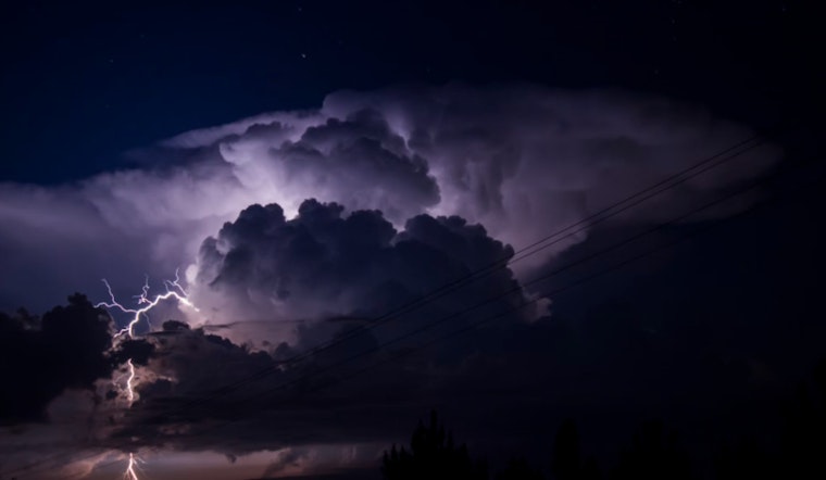
Central Indiana residents are facing a day of inclement weather, as the National Weather Service in Indianapolis warns of thunderstorms and gusty winds. This morning, showers are expected to carry thunderstorms before noon, with a continued chance of showers and potential thunderstorms into the early afternoon. The high for the day is predicted to near 70 degrees with blustery conditions featuring south-southwest winds traveling at 15 to 18 mph and gusts that could reach as high as 37 mph. Citizens should prepare for a 90% chance of precipitation and possible new rainfall amounts ranging from a quarter to half an inch.
Drivers should be cautious today as the forecast predicts southerly wind gusts of 40 to 45 mph, possibly reaching up to 50 mph, ahead of morning showers, according to the National Weather Service. These strong winds may continue into the early afternoon, turning unanchored outdoor items and decorations into projectiles. High-profile vehicles could also face extra challenges on the roads.
Looking towards the evening, the weather is set to shift with skies "mostly cloudy, then gradually becoming mostly clear," as per the National Weather Service forecast. Temperatures will cool to a low around 40 degrees, and winds are expected to calm comparatively, blowing west at 7 to 11 mph with gusts that might still reach 23 mph. The respite will continue into Friday, which promises sunny skies and a high near 59 degrees with a mild north-northeast wind of 3 to 5 mph.
The weekend heralds the return of unsettled weather, with a 40 percent chance of showers after 2 am on Saturday and a likely procession of showers starting Sunday morning. "Showers likely, mainly after 8 am," reports the National Weather Service, with a cloudy Sunday and a high of nearly 69 degrees. The gusty conditions are set to make a less-than-welcome comeback with southsoutheast winds of 6 to 9 mph, gusting up to 18 mph.
For the rest of the week, the outlook suggests a mixture of potentially hazardous weather. "Thunderstorms possible at times early next week," the Hazardous Weather Outlook from the National Weather Service states, indicating the need for central Indiana residents to remain prepared for a tumultuous weather pattern. Despite the mixed weather prospects, spotter activation is not anticipated at this time.


